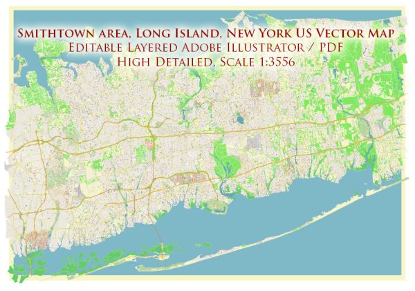
Smithtown, located on Long Island in Suffolk County, New York, has a rich history and features several historic places, buildings, streets, and squares.
Vectormap.Net provide you with the most accurate and up-to-date vector maps in Adobe Illustrator, PDF and other formats, designed for editing and printing. Please read the vector map descriptions carefully.
Here’s a general overview:
Historic Places:
- Smithtown Historical Society: The society preserves and promotes the history of Smithtown. Their main headquarters, the Franklin O. Arthur Farmhouse, is a historic structure that showcases local artifacts and exhibits related to the town’s past.
- Caleb Smith State Park Preserve: Although not in the immediate vicinity of Smithtown, this state park is named after Caleb Smith, one of the town’s early settlers. The park offers hiking trails, fishing opportunities, and a nature museum.
Buildings:
- St. James General Store: Located in nearby St. James, this historic building dates back to the 19th century. It has been restored to its original appearance and now serves as a museum and gift shop, providing a glimpse into the area’s mercantile history.
- Smithtown Library: While not necessarily historic, the Smithtown Library plays a crucial role in the community. Libraries often become community hubs, offering resources, events, and educational opportunities.
Streets:
- Main Street, Smithtown: Main Street is often the heart of any town, and Smithtown is no exception. It likely features a mix of shops, restaurants, and local businesses, contributing to the town’s charm.
- New York Avenue: Another significant thoroughfare in Smithtown, New York Avenue may have historical buildings and establishments, providing a snapshot of the town’s development over the years.
Squares:
- Smithtown Commons: This could refer to a town square or a commercial development. Town squares often serve as gathering places for community events, and commercial developments may house shops, restaurants, and other businesses.
- Plaza at Smithtown: Similar to Smithtown Commons, this may refer to a commercial plaza or gathering area. These spaces often contribute to the social and economic life of a community.
Notable Mention:
- Blydenburgh County Park: Located in nearby Hauppauge, this park includes historical structures like the Blydenburgh Homestead, which dates back to the 18th century. It offers walking trails, a lake, and a glimpse into the agricultural history of the region.
When exploring Smithtown, visitors can appreciate the blend of historical charm and modern amenities, showcasing the town’s evolution over the centuries. To get the most accurate and up-to-date information, consider checking with local historical societies, museums, or town websites.


 Author: Kirill Shrayber, Ph.D. FRGS