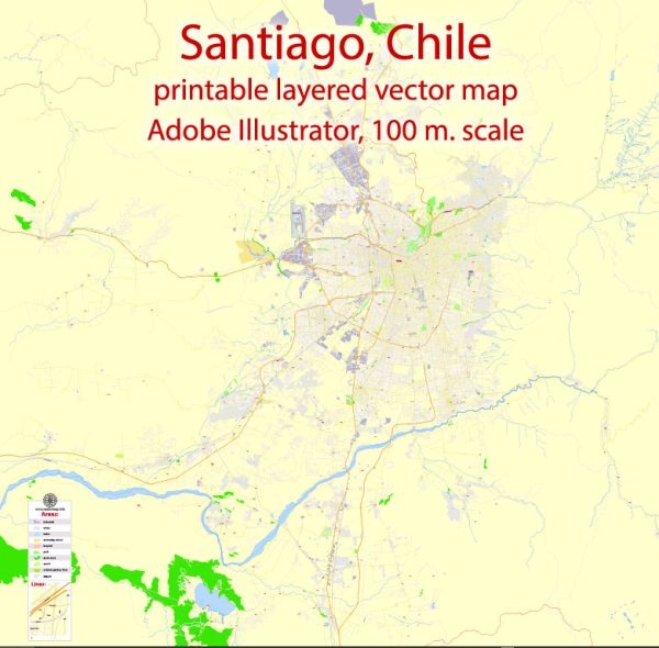
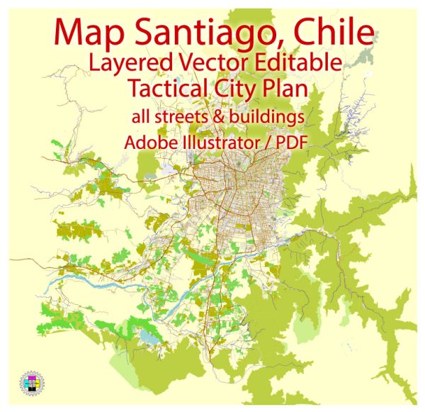
Santiago, the capital and largest city of Chile, is a vibrant and diverse metropolis with various districts, communities, and main streets.
Vectormap.Net provide you with the most accurate and up-to-date vector maps in Adobe Illustrator, PDF and other formats, designed for editing and printing. Please read the vector map descriptions carefully.
Here’s a general overview of some key districts, communities, and main streets in Santiago:
Districts:
- Downtown Santiago (Centro):
- Plaza de Armas: The main square of Santiago, surrounded by historical buildings, including the Metropolitan Cathedral and the Central Post Office.
- La Moneda Palace: The presidential palace is located here.
- Paseo Ahumada: A pedestrian street with shops, restaurants, and street performers.
- Providencia:
- Pedro de Valdivia Avenue: A major thoroughfare with shopping, dining, and entertainment options.
- Parque Metropolitano (Metropolitan Park): A large urban park offering green spaces and panoramic views of the city.
- Las Condes:
- Apoquindo Avenue: Known for its high-end shops, business offices, and upscale residential areas.
- Costanera Center: The tallest building in Latin America, housing a shopping mall, offices, and a hotel.
- Vitacura:
- Alonso de Córdova Street: A fashionable street with luxury boutiques, art galleries, and high-end restaurants.
- Bicentennial Park: A scenic park with walking and cycling paths along the Mapocho River.
- Ñuñoa:
- Plaza Ñuñoa: A bohemian square with theaters, bars, and cultural events.
- Irarrazaval Avenue: Features a mix of residential and commercial areas.
- Bellavista:
- Pío Nono Street: Famous for its nightlife, with numerous bars, clubs, and restaurants.
- Cerro San Cristóbal: A hill with a park and a statue of the Virgin Mary, offering panoramic views of the city.
Communities:
- La Florida:
- A residential district with parks, shopping centers, and a mix of housing options.
- Maipú:
- One of the largest and most populous districts with a mix of residential and industrial areas.
- Puente Alto:
- Known for its vineyards and wine production, it’s one of the more rural districts within Santiago.
Main Streets:
- Avenida Libertador Bernardo O’Higgins (Alameda):
- The main avenue running through downtown Santiago, featuring cultural landmarks, government buildings, and shops.
- Providencia Street:
- A central street in the Providencia district with numerous shops, cafes, and restaurants.
- Avenida Apoquindo:
- Connects several districts and is known for its commercial and financial activity.
- Vitacura Avenue:
- Runs through the Vitacura district, known for its upscale shopping and dining options.
- Irarrazaval Avenue:
- Passes through Ñuñoa and other neighborhoods, featuring a mix of residential and commercial establishments.
Remember that Santiago is constantly evolving, and new developments may have occurred since my last update. It’s always a good idea to check more recent sources for the latest information on the city’s districts and neighborhoods.


 Author: Kirill Shrayber, Ph.D. FRGS