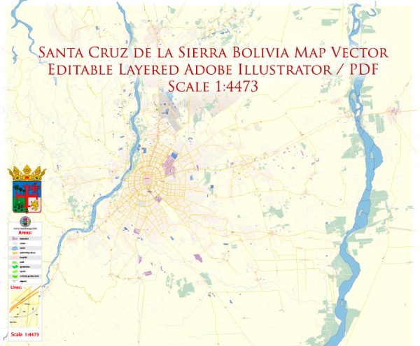
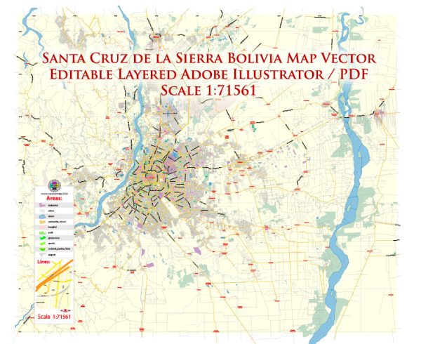
Santa Cruz de la Sierra, commonly known as Santa Cruz, is the largest city in Bolivia and one of the country’s most important economic and cultural centers. While it may not have as many colonial-era structures as some other cities in Bolivia, it has a unique charm and a mix of modern and historical sites.
Vectormap.Net provide you with the most accurate and up-to-date vector maps in Adobe Illustrator, PDF and other formats, designed for editing and printing. Please read the vector map descriptions carefully.
Here’s a detailed description of some of the historic places, buildings, streets, and squares in Santa Cruz:
- Plaza 24 de Septiembre:
- The main square of Santa Cruz, named in honor of the date when the city was founded. It is a bustling and lively space surrounded by historical buildings, shops, and cafes.
- Key structures around the square include the Metropolitan Cathedral, the City Hall, and the Casa de la Cultura.
- Metropolitan Cathedral:
- Located on the eastern side of Plaza 24 de Septiembre, the Metropolitan Cathedral is a prominent religious building.
- The cathedral has a neoclassical facade and is the main seat of the Archdiocese of Santa Cruz de la Sierra.
- City Hall (Palacio de Gobierno Municipal):
- Situated on the northern side of Plaza 24 de Septiembre, this building serves as the headquarters for the municipal government.
- It features colonial-style architecture and is an important administrative center for the city.
- Casa de la Cultura:
- Also found on Plaza 24 de Septiembre, the Casa de la Cultura is a cultural center promoting art and cultural activities.
- The building itself is a beautiful example of colonial architecture.
- Museo de Arte Sacro:
- This museum is located near Plaza 24 de Septiembre and is dedicated to religious art and artifacts.
- It houses a collection of colonial-era religious paintings, sculptures, and other objects.
- Manzana Uno:
- A cultural and arts center situated in a historic building near Plaza 24 de Septiembre.
- It hosts various art exhibitions, workshops, and cultural events.
- Parque El Arenal:
- This park is located a short distance from the city center and is a popular spot for relaxation and outdoor activities.
- It features green spaces, walking paths, and recreational areas.
- Puente Urubó:
- A modern bridge that connects the city of Santa Cruz with the neighboring town of Urubó.
- The bridge offers stunning views of the surrounding landscape.
- Iglesia de San Lorenzo:
- A historic church located in the San Lorenzo neighborhood, featuring unique architecture and religious significance.
- Avenida San Martín:
- One of the city’s main avenues, lined with shops, restaurants, and entertainment venues.
- It is a vibrant and bustling street, offering a glimpse of the city’s modern life.
While Santa Cruz de la Sierra may not have as many preserved colonial buildings as other Bolivian cities, its blend of historical and modern attractions makes it a fascinating destination with a unique cultural identity.


 Author: Kirill Shrayber, Ph.D. FRGS