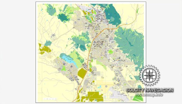
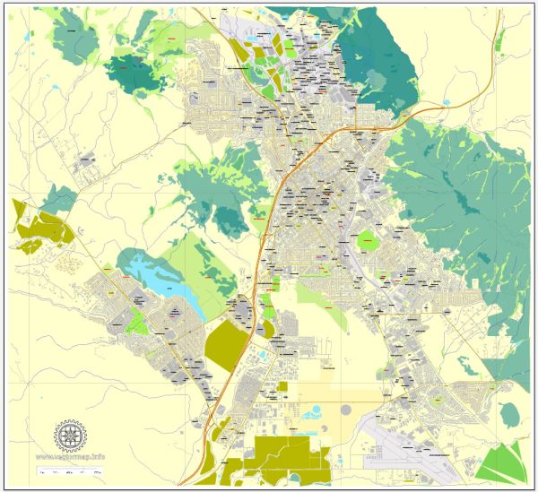
San Luis Obispo (SLO) is a charming city located in the Central Coast region of California.
Vectormap.Net provide you with the most accurate and up-to-date vector maps in Adobe Illustrator, PDF and other formats, designed for editing and printing. Please read the vector map descriptions carefully.
Here’s a general overview of the districts, communities, and main streets in San Luis Obispo:
- Downtown District:
- The heart of San Luis Obispo is its vibrant downtown area, known for its historic architecture, unique shops, restaurants, and cultural attractions.
- Mission Plaza: A central gathering place featuring the iconic Mission San Luis Obispo de Tolosa, a historic Spanish mission.
- Higuera Street: The main commercial street in downtown, lined with shops, boutiques, cafes, and galleries.
- Farmers’ Market: A popular weekly event held on Higuera Street, offering fresh produce, local goods, and a festive atmosphere.
- University District:
- Home to California Polytechnic State University (Cal Poly), this district is bustling with energy and student life.
- The Cal Poly campus is situated on the northeastern edge of the city.
- Foothill Boulevard Area:
- Located on the eastern side of the city, this area features residential neighborhoods, schools, and parks.
- Bishop Peak, one of the famous Nine Sisters (volcanic peaks), is a popular hiking destination in this vicinity.
- Anholm District:
- A residential neighborhood located to the north of downtown, known for its historic homes and tree-lined streets.
- Railroad District:
- This district, situated to the south of downtown, is named after the historic railroad station. It features a mix of residential and commercial spaces.
- Edna Valley:
- Located just south of San Luis Obispo, Edna Valley is renowned for its vineyards and wineries. It’s part of the larger San Luis Obispo wine country.
- Communities and Neighborhoods:
- San Luis Obispo has various neighborhoods, each with its own character, including Laguna Lake, Johnson Avenue, and Cerro San Luis.
- These neighborhoods offer a mix of housing options, schools, parks, and local amenities.
- Main Streets:
- Higuera Street: The primary commercial street in downtown, hosting numerous shops, restaurants, and events.
- Marsh Street: Connecting downtown to the northern parts of the city, Marsh Street is another important thoroughfare.
- Santa Rosa Street: Adjacent to Mission Plaza, it is known for its historic architecture and proximity to cultural attractions.
San Luis Obispo is celebrated for its outdoor activities, cultural events, and a friendly community. The city’s layout combines urban amenities with the natural beauty of the surrounding landscape, making it a desirable place to live and visit. Keep in mind that developments may have occurred since my last update, so it’s recommended to check more recent sources for the latest information about San Luis Obispo’s districts and communities.


 Author: Kirill Shrayber, Ph.D.