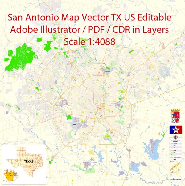
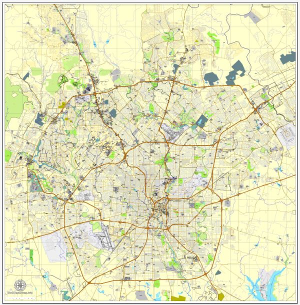
A general description of the port, main streets, and roads in San Antonio, Texas.
Vectormap.Net provide you with the most accurate and up-to-date vector maps in Adobe Illustrator, PDF and other formats, designed for editing and printing. Please read the vector map descriptions carefully.
Port: San Antonio is not a coastal city, so it doesn’t have a traditional seaport. However, the city is served by the Port of San Antonio, which is a multimodal logistics platform located near the convergence of major highways. This inland port facilitates the movement of goods through various transportation modes, including truck, rail, and air.
Main Streets and Roads:
- Downtown Streets:
- Commerce Street: A prominent street in downtown San Antonio with historic buildings, shops, and restaurants.
- Houston Street: Another significant downtown thoroughfare featuring theaters, hotels, and businesses.
- The River Walk:
- This is a network of pedestrian walkways along the San Antonio River, lined with shops, restaurants, and entertainment venues. It’s a major attraction in the city.
- Interstate Highways:
- I-10 (Interstate 10): Runs east-west and connects San Antonio to major cities like Houston and El Paso.
- I-35 (Interstate 35): Runs north-south and is a key corridor connecting San Antonio to cities like Austin and Dallas.
- US Highways:
- US 281: Connects San Antonio to points north, including the cities of Johnson City and San Angelo.
- US 90: An east-west highway passing through San Antonio, connecting it to Del Rio and Houston.
- Loop Roads:
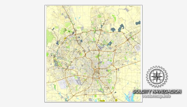
- Loop 1604: A major outer loop highway encircling the greater San Antonio area.
- Loop 410: An inner loop highway providing access to various neighborhoods and suburbs.
- State Highways:
- SH 151: Connects San Antonio to the western suburbs and serves as an access route to SeaWorld San Antonio.
- SH 16: Connects San Antonio to points north and south, including Bandera and Poteet.
- Avenue B and Broadway Street:
- Avenue B: A historic street in the King William Historic District, known for its Victorian-style houses.
- Broadway Street: A major road in San Antonio, running through various neighborhoods and business districts.
Remember that San Antonio is a large and diverse city, and this description covers just a selection of its main streets and roads. It’s always a good idea to use navigation apps or local maps for precise directions and real-time updates.

 Author: Kirill Shrayber, Ph.D.