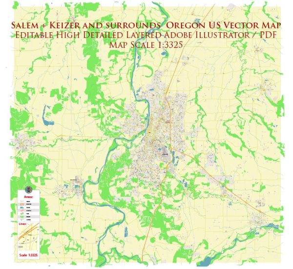
A detailed description of the districts, communinies and main streets of the Salem and Keizer Oregon US.
Vectormap.Net provide you with the most accurate and up-to-date vector maps in Adobe Illustrator, PDF and other formats, designed for editing and printing. Please read the vector map descriptions carefully.
Salem, Oregon:
Districts and Communities:
- Downtown Salem:
- The heart of Salem, Downtown, is a mix of historic and modern architecture. It houses government buildings, businesses, shops, and restaurants. Events like the Farmers’ Market and holiday festivities often take place here.
- West Salem:
- Across the Willamette River from downtown, West Salem is a residential area with parks, schools, and local businesses. It offers a more suburban feel compared to the urban core.
- Northeast Salem:
- This area is known for its diverse neighborhoods and community parks. The residential communities in Northeast Salem contribute to the overall character of the city.
- South Salem:
- South Salem is a mix of residential and commercial areas. It includes neighborhoods, schools, and parks, making it a well-balanced part of the city.
Main Streets:
- Commercial Street SE:
- Commercial Street is a significant thoroughfare in Salem, featuring a mix of businesses, shops, and restaurants. It runs through downtown and showcases the city’s commercial vibrancy.
- State Street:
- State Street is a major east-west street in downtown Salem. It is home to government buildings, shops, and cultural institutions, making it a key artery for the city.
Keizer, Oregon:
Districts and Communities:
- Keizer Station:
- Keizer Station is a retail and commercial area featuring a shopping center with various stores and restaurants. It has become a hub for shopping and entertainment in Keizer.
- Gubser Neighborhood:
- Gubser is a residential neighborhood in Keizer with schools, parks, and community spaces. It represents the community-oriented aspect of Keizer.
- Clear Lake Neighborhood:
- This neighborhood, situated in the southern part of Keizer, is known for its residential character and proximity to Clear Lake. It offers a more tranquil living environment.
Main Streets:
- River Road N:
- River Road North is a major north-south thoroughfare in Keizer, connecting the city to Salem. It hosts a variety of businesses, including retail stores and restaurants.
- Cherry Avenue NE:
- Cherry Avenue is a notable street in Keizer, running through various residential areas. It represents the typical suburban streets found in the city.
Both Salem and Keizer have diverse districts and communities that contribute to the unique character of each city. Exploring the main streets allows residents and visitors to experience the local culture, businesses, and community life in these Oregon cities.


 Author: Kirill Shrayber, Ph.D. FRGS