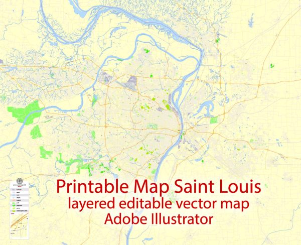
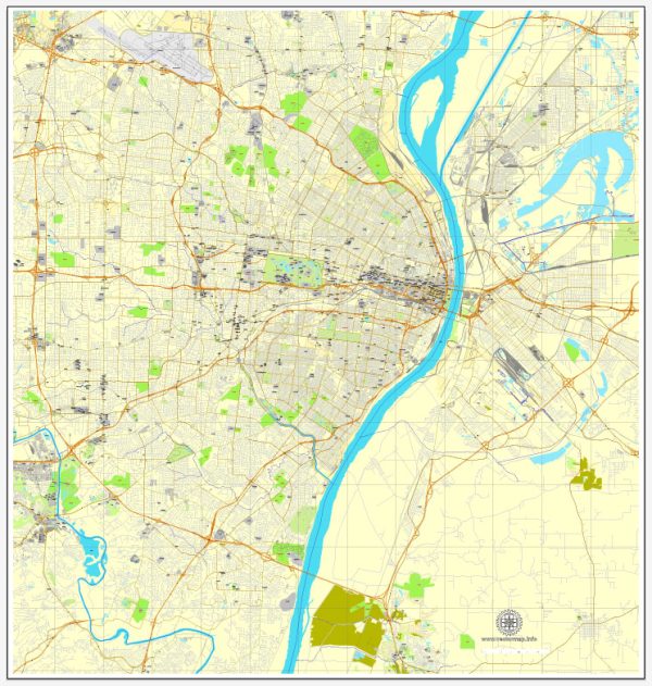
St. Louis, Missouri, is a city with a rich history and diverse neighborhoods. An overview of some prominent districts, communities, and main streets, please note that the city’s landscape and neighborhoods may evolve.
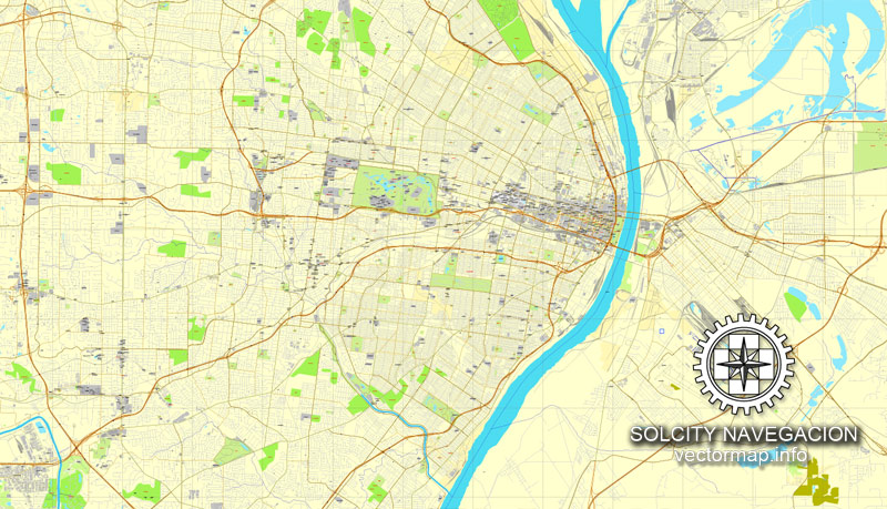
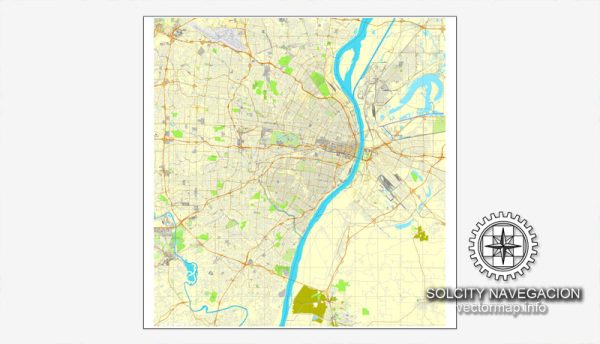
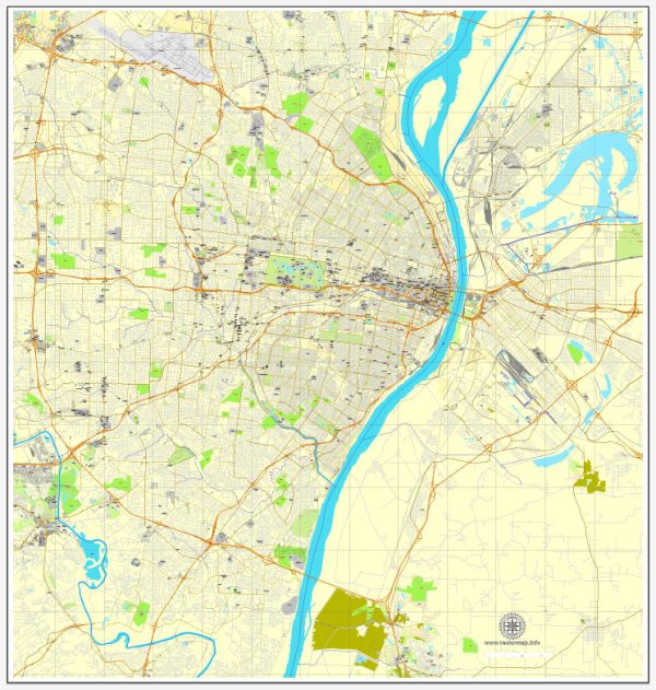
Vectormap.Net provide you with the most accurate and up-to-date vector maps in Adobe Illustrator, PDF and other formats, designed for editing and printing. Please read the vector map descriptions carefully.
- Downtown St. Louis:
- Main Streets: Washington Avenue, Market Street, and Olive Street.
- Description: Downtown St. Louis is the city’s central business district, featuring iconic landmarks like the Gateway Arch and Busch Stadium, home of the St. Louis Cardinals. Washington Avenue is known for its historic buildings and trendy loft apartments. Market Street is another bustling street with shops and restaurants.
- Central West End:
- Main Streets: Euclid Avenue and Maryland Plaza.
- Description: This vibrant neighborhood is known for its historic homes, upscale dining, and the Barnes-Jewish Hospital complex. Euclid Avenue is the main commercial street, lined with shops, galleries, and eateries. Maryland Plaza is a European-style outdoor shopping and dining area.
- The Loop (Delmar Loop):
- Main Street: Delmar Boulevard.
- Description: The Loop is a lively, artsy neighborhood near Washington University. Delmar Boulevard is the main drag, featuring eclectic shops, theaters, and a variety of restaurants. The Tivoli Theatre, a historic movie theater, is a notable landmark.
- Soulard:
- Main Streets: South Broadway and Russell Boulevard.
- Description: Soulard is one of the oldest neighborhoods in St. Louis, known for its historic architecture and lively atmosphere. South Broadway is the main thoroughfare, lined with bars, restaurants, and the famous Soulard Market. The neighborhood hosts one of the largest Mardi Gras celebrations outside of New Orleans.
- The Hill:
- Main Streets: Sublette Avenue and Macklind Avenue.
- Description: The Hill is an Italian-American neighborhood famous for its delicious Italian cuisine. Sublette Avenue and Macklind Avenue are the main streets where you’ll find numerous Italian restaurants, bakeries, and grocery stores.
- Grand Center:
- Main Streets: Grand Boulevard.
- Description: Grand Center is the arts and entertainment district of St. Louis, featuring theaters, museums, and galleries. Grand Boulevard is the main street, with the Fabulous Fox Theatre and the Contemporary Art Museum St. Louis among its attractions.
- Lafayette Square:
- Main Streets: Park Avenue and Lafayette Avenue.
- Description: Lafayette Square is a historic district known for its well-preserved Victorian architecture and beautiful park. Park Avenue and Lafayette Avenue are the main streets, lined with charming homes, bed and breakfasts, and local businesses.
These descriptions provide a snapshot of some of the notable districts and neighborhoods in St. Louis. Each area has its own unique character, attractions, and community vibes. Keep in mind that St. Louis is a dynamic city, and new developments may have occurred since my last update.

 Author: Kirill Shrayber, Ph.D.