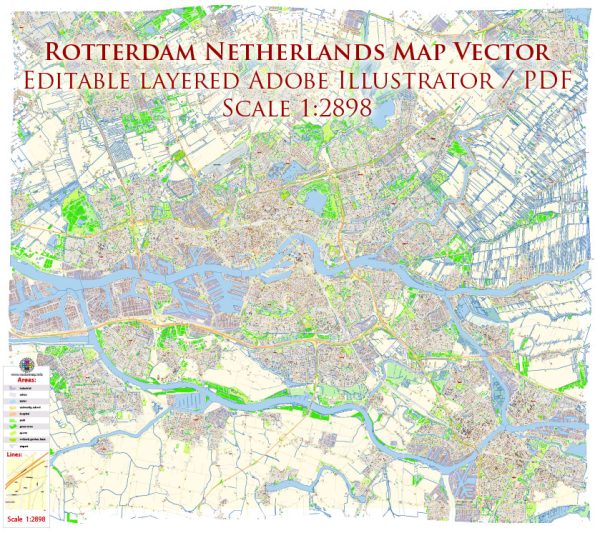
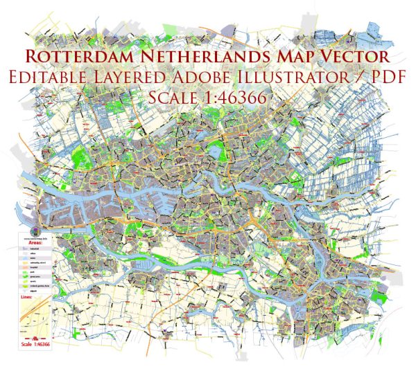
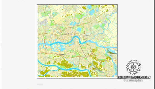
Rotterdam, located in the southwestern part of the Netherlands, is a major port city known for its modern architecture, diverse cultural scene, and, most notably, its extensive port facilities.
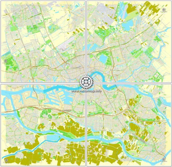
Vectormap.Net provide you with the most accurate and up-to-date vector maps in Adobe Illustrator, PDF and other formats, designed for editing and printing. Please read the vector map descriptions carefully.
Here’s a detailed description of the port, canals, and main streets and roads in Rotterdam:
1. Port of Rotterdam:
- Size and Significance: The Port of Rotterdam is one of the largest and busiest ports in the world. It serves as a crucial hub for international trade, connecting Europe to the rest of the world.
- Infrastructure: The port is equipped with state-of-the-art facilities, including container terminals, oil refineries, and logistics centers. It spans a vast area, with numerous docks and terminals catering to different types of cargo.
- Maasvlakte: Part of the port expansion project, Maasvlakte is an extension into the North Sea, creating additional land for port activities.
2. Canals:
- Delfshaven: This historic district features picturesque canals and is a well-preserved part of the city with a maritime heritage. Delfshaven has charming waterfronts, old warehouses, and traditional Dutch architecture.
- Oude Haven: Translating to “Old Harbor,” Oude Haven is a scenic area surrounded by historic buildings and bridges. It’s a popular spot for dining and entertainment along the waterfront.
- Rotte River: While not a typical canal, the Rotte River played a crucial role in the city’s history. Rotterdam’s name is derived from the dam on the Rotte River.
3. Main Streets and Roads:
- Coolsingel: This is one of Rotterdam’s main streets, lined with shops, restaurants, and important civic buildings. Coolsingel is a central avenue often used for parades and events.
- Witte de Withstraat: Known for its vibrant nightlife and cultural scene, Witte de Withstraat is a trendy street with numerous art galleries, bars, and eateries.
- Beursplein: Home to the Beurs World Trade Center, Beursplein is a square surrounded by modern architecture and is a key financial district in Rotterdam.
- Erasmusbrug (Erasmus Bridge): A prominent landmark, the Erasmusbrug is a cable-stayed bridge spanning the Nieuwe Maas River, connecting the northern and southern parts of the city.
- Maastunnel: This tunnel, opened in 1942, is a vital connection under the Nieuwe Maas River, facilitating transportation between the northern and southern parts of Rotterdam.
4. Architecture:
- Rotterdam is known for its modern architecture, particularly in the city center. The city had to be largely rebuilt after extensive bombing during World War II. Some iconic structures include the Cube Houses, the Markthal, and the Van Nelle Factory.
Rotterdam’s combination of historic charm, modern infrastructure, and maritime significance makes it a dynamic and interesting city to explore. The interplay between canals, ports, and urban areas creates a unique and diverse environment.

 Author: Kirill Shrayber, Ph.D.