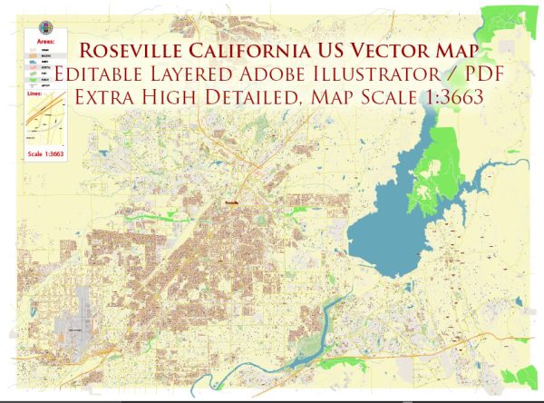
A general overview of some districts, communities, and main streets in Roseville, California.
Vectormap.Net provide you with the most accurate and up-to-date vector maps in Adobe Illustrator, PDF and other formats, designed for editing and printing. Please read the vector map descriptions carefully.
- Downtown Roseville:
- Description: Downtown Roseville is a historic area that has undergone revitalization efforts in recent years. It features a mix of shops, restaurants, and cultural attractions. Vernon Street is a central street in this area, lined with businesses and connecting various points of interest.
- East Roseville:
- Description: The eastern part of Roseville has seen significant residential and commercial development. This area is characterized by various neighborhoods, parks, and shopping centers. The Galleria at Roseville, a large shopping mall, is a prominent feature in East Roseville.
- West Roseville:
- Description: West Roseville has experienced substantial growth in recent years, with numerous residential developments, schools, and parks. This area is known for its family-friendly atmosphere and accessibility to outdoor amenities.
- Foothills Junction:
- Description: This area is situated in the northeastern part of Roseville, closer to the Sierra Nevada foothills. It may feature residential neighborhoods, parks, and schools. Some parts of Foothills Junction may offer scenic views of the surrounding natural landscape.
- Blue Oaks:
- Description: Blue Oaks is a residential community in northwest Roseville, characterized by modern housing developments, schools, and parks. The area is known for its family-oriented atmosphere and convenient access to amenities.
- Stanford Ranch:
- Description: Stanford Ranch is a community in the western part of Roseville, known for its residential neighborhoods, schools, and recreational facilities. It’s a well-established area with various amenities for residents.
- Main Streets:
- Vernon Street: Located in downtown Roseville, Vernon Street is a historic thoroughfare with a mix of shops, restaurants, and entertainment venues.
- Douglas Boulevard: Running through the heart of Roseville, Douglas Boulevard is a major east-west street that connects various neighborhoods and commercial areas.
- Sunset Boulevard: This street intersects with Douglas Boulevard and runs through different parts of Roseville, connecting residential and commercial areas.
It’s essential to note that Roseville is a dynamic and growing city, and new developments may have occurred since my last update. For the most accurate and current information, consider reaching out to local authorities, city planning departments, or community organizations in Roseville.


 Author: Kirill Shrayber, Ph.D.