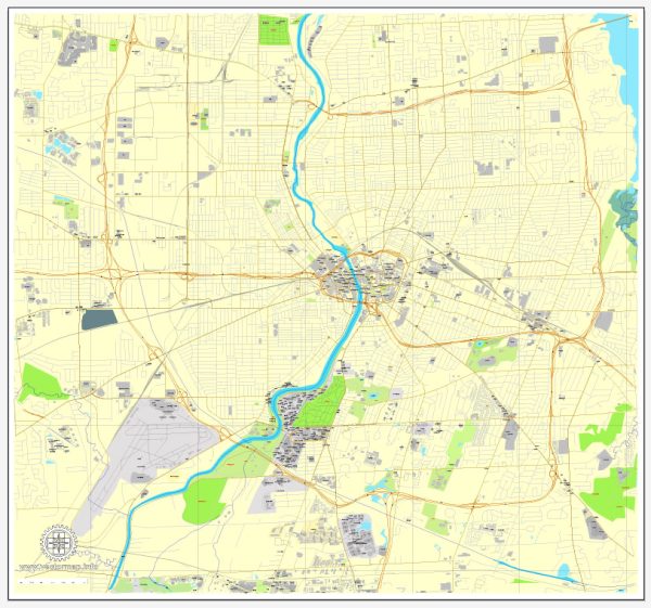
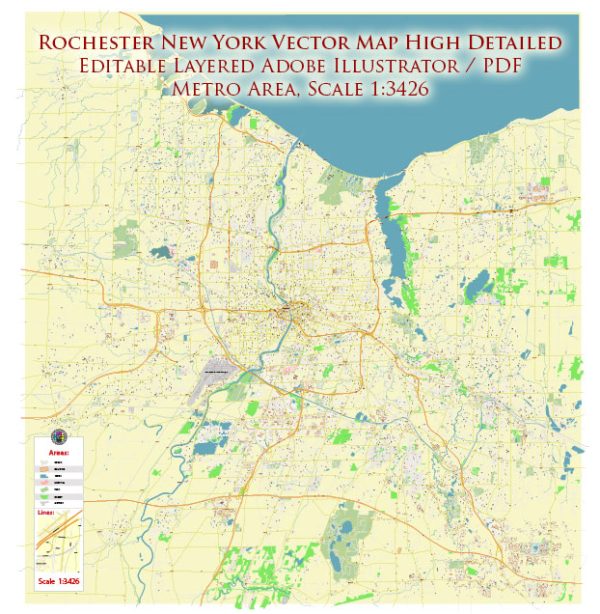
Rochester, New York, has a rich urban history that dates back to the early 19th century. The city’s development is closely tied to its geographical location, natural resources, and economic activities.
Vectormap.Net provide you with the most accurate and up-to-date vector maps in Adobe Illustrator, PDF and other formats, designed for editing and printing. Please read the vector map descriptions carefully.
Here’s a detailed overview of the urban history and street system of Rochester:
Early History:
- Founding and Early Growth (19th Century): Rochester was officially incorporated as a village in 1817 and as a city in 1834. It was named after the town of Rochester in New York, which, in turn, was named after Rochester in Kent, England.
- Erie Canal Influence: The construction of the Erie Canal, completed in 1825, played a pivotal role in Rochester’s growth. The canal connected the city to the Great Lakes and the Hudson River, facilitating trade and transportation. This led to the development of industries, particularly flour milling and manufacturing.
Industrialization and Economic Growth:
- Flour Milling and Manufacturing Boom: Flour mills along the Genesee River powered Rochester’s early economy. The city became a major center for flour production, earning it the nickname “Flour City.” As the 19th century progressed, Rochester diversified its industries, including textiles, clothing, and optics.
- Photographic Industry: In the mid-19th century, George Eastman founded the Eastman Kodak Company in Rochester, making the city a hub for the photographic industry. Kodak became a major employer and influenced the city’s growth and identity.
Urban Development:
- East-West Street System: Rochester’s street system is primarily based on an east-west grid pattern. East-west streets are often named after states in order of their admission to the Union.
- North-South Streets: North-south streets in downtown Rochester are numbered, and many of them are named after trees.
- Downtown Development: The central business district of downtown Rochester underwent significant development during the 19th and early 20th centuries. Notable buildings, such as the Powers Building and the Times Square Building, contribute to the city’s architectural heritage.
Challenges and Decline:
- Deindustrialization: Like many Rust Belt cities, Rochester faced challenges with deindustrialization in the latter half of the 20th century. The decline of traditional manufacturing industries, including Kodak’s struggles, impacted the local economy.
- Urban Renewal: In the mid-20th century, urban renewal projects aimed at revitalizing the city led to the demolition of some historic structures. This period saw the construction of modernist buildings and infrastructure.
Recent Developments:
- Revitalization Efforts: In recent decades, there have been concerted efforts to revitalize Rochester. Projects focus on preserving historic areas, promoting tourism, and attracting new industries, including technology and healthcare.
- High-Tech Corridor: The Eastman Business Park and the presence of universities like the University of Rochester and Rochester Institute of Technology have contributed to the city’s evolution as a center for technology and innovation.
Conclusion:
Rochester’s urban history reflects its transformation from a bustling industrial center to a city grappling with economic challenges and, more recently, undergoing revitalization. The street system, shaped by historical factors, continues to be a key element of Rochester’s urban landscape. The city’s ability to adapt to changing economic realities and embrace new opportunities will likely play a crucial role in its future development.


 Author: Kirill Shrayber, Ph.D. FRGS