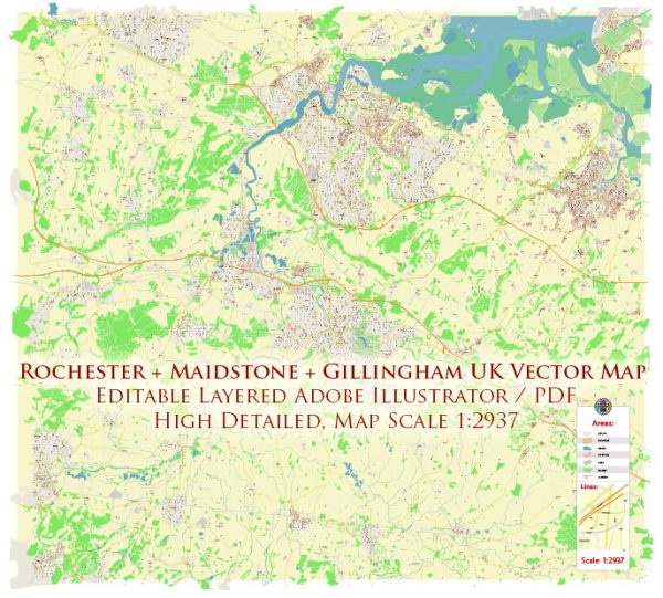
A general overview of the urban history and street systems of Rochester, Maidstone, and Gillingham in the UK.
Vectormap.Net provide you with the most accurate and up-to-date vector maps in Adobe Illustrator, PDF and other formats, designed for editing and printing. Please read the vector map descriptions carefully.
Rochester:
Urban History:
Rochester is a historic city located in Kent, England. Its history dates back to Roman times when it was known as Durobrivae, a significant Roman town. The city played a crucial role in medieval England and is known for its impressive Norman cathedral and castle. Rochester Cathedral, also known as the Cathedral Church of Christ and the Blessed Virgin Mary, was founded in AD 604.
Street System:
The street system in Rochester reflects its ancient origins. The city features a mix of narrow medieval streets and more modern thoroughfares. The High Street is a central and historic street in Rochester, lined with shops, cafes, and historic buildings. Rochester Bridge is another notable structure, spanning the River Medway and connecting the city to Strood on the opposite bank.
Maidstone:
Urban History:
Maidstone is the county town of Kent and has a rich history that dates back to Saxon times. The Archbishops of Canterbury historically owned the town, and the Archbishop’s Palace is a prominent historical site. The town played a role in the English Civil War and has evolved into a modern center with a mix of historical and contemporary elements.
Street System:
Maidstone’s street system reflects its growth and development over the centuries. The High Street is a bustling area with shops, restaurants, and historic buildings. Maidstone has undergone urban planning and expansion, resulting in a mix of narrow lanes and more modern thoroughfares. The River Medway runs through the town, and bridges like the Archbishop’s Bridge connect different parts of Maidstone.
Gillingham:
Urban History:
Gillingham is a town in the unitary authority of Medway in South East England. Its history is closely tied to its maritime and military significance. The Royal Navy’s Chatham Dockyard, located in Gillingham, played a crucial role in the town’s development.
Street System:
Gillingham’s street system has evolved to accommodate its historical and industrial context. The town has a mix of residential areas, commercial zones, and industrial spaces. Streets near the historic dockyard may have a different character compared to more modern developments. The road network is designed to connect Gillingham with neighboring towns like Chatham and Rochester.
Conclusion:
These towns in Kent share a common thread of historical significance, each with its unique charm and character. The street systems reflect the evolution of these places over time, from ancient origins to modern developments. For the most current and detailed information, it’s advisable to check local resources or official town planning documents.


 Author: Kirill Shrayber, Ph.D. FRGS