Richmond, Virginia, has a rich and diverse urban history that spans several centuries. The city played a significant role in American history, particularly during the colonial period, the Revolutionary War, and the Civil War. The evolution of Richmond’s street system reflects its growth, development, and historical significance.
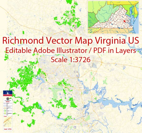
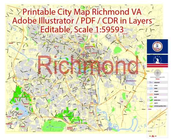
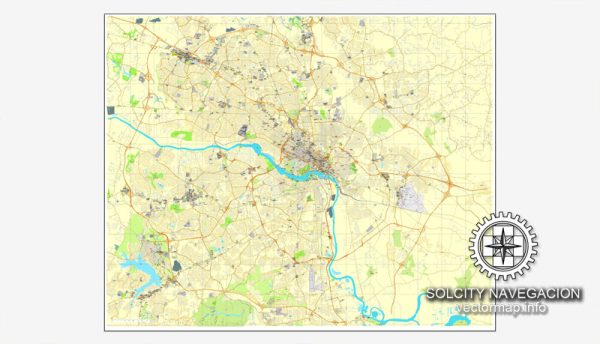
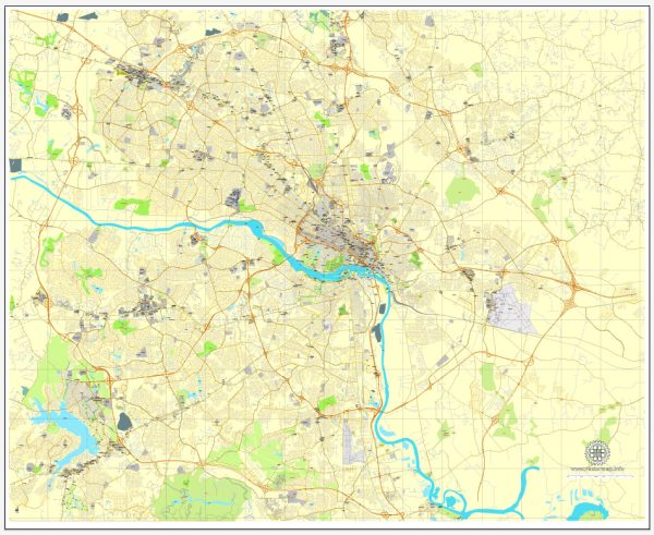
Vectormap.Net provide you with the most accurate and up-to-date vector maps in Adobe Illustrator, PDF and other formats, designed for editing and printing. Please read the vector map descriptions carefully.
Colonial Period: Richmond’s history dates back to the early 17th century when English settlers established the Jamestown colony in 1607. The area that would become Richmond was originally inhabited by the Powhatan Confederacy. In 1737, William Byrd II, a prominent planter and surveyor, laid out the original street grid for the town of Richmond on a grid system inspired by Philadelphia. The town was strategically located along the James River, making it a key transportation hub.
Revolutionary War Era: During the American Revolutionary War, Richmond became the capital of Virginia in 1780, replacing Williamsburg. The city’s strategic location and its status as the state capital contributed to its growth. The original street plan featured a grid layout, with a central public square designated for a statehouse (today’s Capitol Square). Shockoe Hill, now known as Church Hill, became a fashionable residential area.
19th Century – Antebellum Period: The early 19th century saw further expansion and development in Richmond. The construction of the Chesapeake and Ohio Canal and the Richmond, Fredericksburg, and Potomac Railroad increased transportation connectivity, facilitating trade and commerce. The Shockoe Bottom area emerged as a commercial and industrial center, hosting markets and factories. The street system continued to evolve, with Broad Street becoming a prominent commercial thoroughfare.
Civil War and Reconstruction: Richmond played a pivotal role in the Civil War as the capital of the Confederate States of America. In 1865, during the fall of Richmond, the city suffered extensive damage. The post-war period brought about reconstruction efforts, and the city gradually recovered. The Shockoe Bottom district continued to thrive as a commercial and industrial center.
Late 19th to Early 20th Century: The late 19th century saw further urbanization and industrialization. The streetcar system was introduced, connecting different neighborhoods and facilitating suburban growth. Monument Avenue, known for its Confederate monuments, was developed in the late 19th and early 20th centuries. The Fan District, characterized by its unique street pattern resembling an open fan, emerged as a residential area.
20th Century to Present: In the mid-20th century, Richmond experienced suburbanization and the development of the interstate highway system. This had a transformative effect on transportation patterns and the urban landscape. The construction of Interstate 95, for example, had a significant impact on the Jackson Ward neighborhood, a historically African American community.
In recent decades, Richmond has witnessed efforts to revitalize its downtown area, including the Shockoe Bottom and Manchester districts. The city has preserved and repurposed historic buildings, contributing to the unique character of its neighborhoods.
Today, Richmond’s street system is a mix of historic and modern developments. The city continues to evolve, balancing preservation efforts with the need for urban growth and development. Richmond’s urban history is a tapestry of colonial roots, Civil War struggles, industrial expansion, and ongoing efforts to create a vibrant and inclusive urban environment.

 Author: Kirill Shrayber, Ph.D.