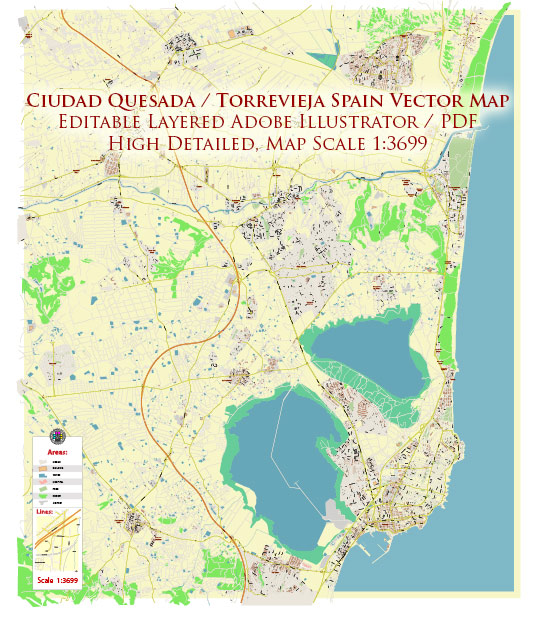
“Quesada” in Torrevieja, Spain – there is a popular residential area known as Ciudad Quesada, which is a planned urbanization located near Torrevieja. Ciudad Quesada is known for its amenities, golf courses, and a mix of expatriate and local residents. Torrevieja itself is a coastal city on the Costa Blanca in the province of Alicante, and it does have some historical sites and attractions.
Vectormap.Net provide you with the most accurate and up-to-date vector maps in Adobe Illustrator, PDF and other formats, designed for editing and printing. Please read the vector map descriptions carefully.
Here are some places of historical and cultural interest in Torrevieja:
- Torre del Moro (Tower of the Moor): This is an old watchtower that dates back to the 14th century. It was originally built as part of the coastal defense system to protect against pirate attacks. The tower offers panoramic views of the surrounding area.
- Iglesia Arciprestal de la Inmaculada Concepción (Archpriestal Church of the Immaculate Conception): This church is one of the main religious buildings in Torrevieja. Its construction began in 1798, and it has undergone several renovations over the years. The church features neoclassical and baroque architectural elements.
- Museum of Sea and Salt (Museo del Mar y de la Sal): This museum showcases the history and importance of salt production in the region, as well as the maritime history of Torrevieja. It’s a great place to learn about the city’s connection to the sea.
- Plaza de la Constitución: This is one of the main squares in Torrevieja and serves as a central gathering place. It features the Town Hall, a traditional bandstand, and is surrounded by cafes and shops. The square is often used for cultural events and festivals.
- Dique de Levante Breakwater: While not a historic site per se, the Dique de Levante is a popular spot for a stroll. It offers beautiful views of the Mediterranean Sea and the coastline.
It’s important to note that Ciudad Quesada itself is more of a residential area with amenities such as shops, restaurants, and golf courses, rather than a historical site.


 Author: Kirill Shrayber, Ph.D. FRGS