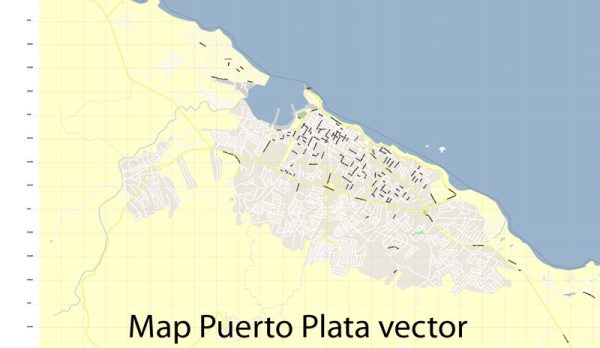
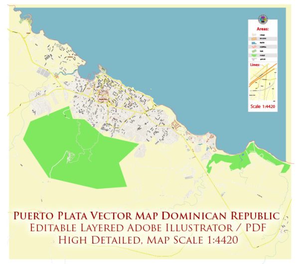
Transportation and port infrastructure in Puerto Plata, Dominican Republic.
Vectormap.Net provide you with the most accurate and up-to-date vector maps in Adobe Illustrator, PDF and other formats, designed for editing and printing. Please read the vector map descriptions carefully.
Transportation:
- Airports:
- The main gateway to Puerto Plata is the Gregorio Luperón International Airport (POP). This airport serves as a major hub for international flights, connecting Puerto Plata with various destinations in North America, Europe, and other parts of the Caribbean.
- Roads:
- Puerto Plata has a network of roads and highways that connect it to other cities and regions in the Dominican Republic. The main highway is the Autopista Duarte, which connects Puerto Plata to Santo Domingo, the capital city.
- Public Transportation:
- Public transportation within Puerto Plata includes buses and taxis. There may also be shared vans or minibusses serving specific routes.
- Taxis and Ride-Sharing:
- Taxis are readily available in Puerto Plata for local transportation. Additionally, ride-sharing services may operate in the area.
- Car Rentals:
- Car rental services are available for those who prefer to have their own transportation. Several international and local companies offer rental services at the airport and in the city.
Port Infrastructure:
- Port of Puerto Plata:
- The Port of Puerto Plata is a key maritime facility in the region. It handles both cargo and cruise ship traffic.
- For cargo, the port facilitates the import and export of goods, supporting trade and commerce in the region.
- In terms of cruise tourism, Puerto Plata is a popular port of call for cruise ships visiting the Caribbean. The port area often features a cruise terminal with facilities for passengers.
- Cruise Terminals:
- Cruise terminals in Puerto Plata are equipped to handle the influx of tourists arriving via cruise ships. These terminals typically offer customs and immigration services, duty-free shops, restaurants, and excursion desks.
- Cargo Handling Facilities:
- The port likely has facilities for the efficient loading and unloading of cargo, including storage areas and logistics support.
- Infrastructure Developments:
- Infrastructure developments and improvements may have occurred since my last update. Governments often invest in upgrading port facilities to enhance trade and tourism.
Please verify this information with up-to-date sources, as developments in transportation and port infrastructure can change over time.


 Author: Kirill Shrayber, Ph.D. FRGS