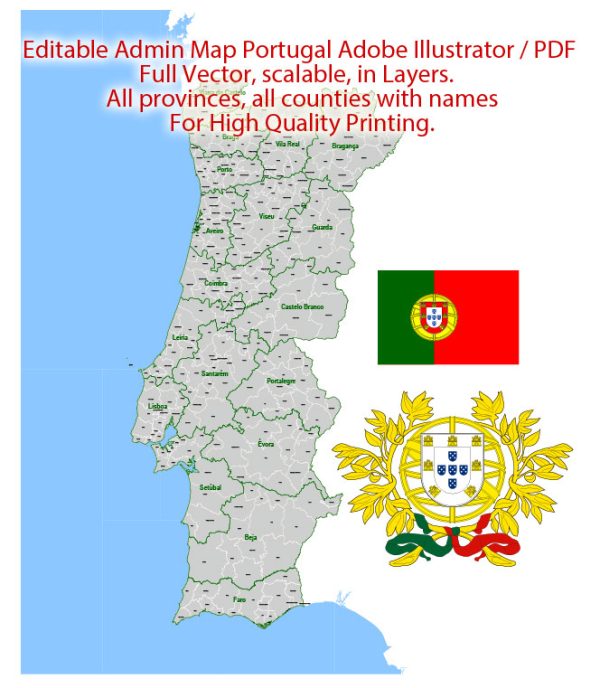
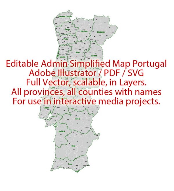
Portugal is a country located in southwestern Europe, on the Iberian Peninsula. It is known for its rich history, stunning landscapes, and vibrant culture.
Vectormap.Net provide you with the most accurate and up-to-date vector maps in Adobe Illustrator, PDF and other formats, designed for editing and printing. Please read the vector map descriptions carefully.
Here’s a detailed description of some of the main cities, ports, towns, and principal roads in Portugal:
Main Cities:
- Lisbon (Lisboa):
- The capital and largest city of Portugal.
- Located on the western coast of the country along the Tagus River.
- Known for its historic neighborhoods, iconic landmarks like Belem Tower and Jerónimos Monastery, and vibrant nightlife.
- Porto (Oporto):
- Located in the northern part of Portugal along the Douro River.
- Famous for its historic Ribeira district, Port wine cellars, and the iconic Dom Luís I Bridge.
- A cultural hub with museums, art galleries, and a lively waterfront.
- Faro:
- The capital of the Algarve region in southern Portugal.
- Known for its historic old town, medieval walls, and the Faro Cathedral.
- Serves as a gateway to the stunning Algarve coastline.
- Coimbra:
- Situated in central Portugal on the banks of the Mondego River.
- Home to one of the oldest universities in the world, the University of Coimbra.
- Rich in history and architecture, including the Coimbra Cathedral and the Joanina Library.
- Braga:
- Located in the northwestern part of Portugal.
- Known for its religious significance, with numerous churches and the Bom Jesus do Monte sanctuary.
- A city with a blend of history, modernity, and vibrant cultural events.
Ports:
- Port of Lisbon:
- The largest and busiest port in Portugal.
- Strategic location on the Atlantic Ocean, handling a significant portion of the country’s maritime trade.
- Port of Leixões (Porto):
- Located near Porto, it is one of the major seaports in Portugal.
- Important for the export of goods, particularly in the northern region.
- Port of Sines:
- Positioned on the southwestern coast of Portugal.
- A deep-water port and an important hub for international trade, particularly in energy products.
Towns:
- Sintra:
- Known for its romantic 19th-century architecture and picturesque landscapes.
- A UNESCO World Heritage Site with attractions like Pena Palace and Quinta da Regaleira.
- Évora:
- Located in the Alentejo region, known for its well-preserved medieval architecture.
- Home to the Temple of Diana, Évora Cathedral, and the University of Évora.
Principal Roads:
- A1 (Autoestrada do Norte):
- Connects Lisbon to Porto, forming a crucial north-south highway.
- A2 (Autoestrada do Sul):
- Links Lisbon to the Algarve region in the south.
- A5 (Autoestrada da Costa do Estoril):
- Connects Lisbon to Cascais along the beautiful Estoril Coast.
- A22 (Via do Infante):
- An important highway running through the Algarve region.
These descriptions provide a snapshot of some of the main cities, ports, towns, and roads in Portugal, showcasing the diversity and historical richness of the country.


 Author: Kirill Shrayber, Ph.D. FRGS