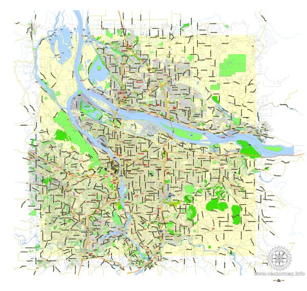
A general overview of the economic and transport connections between Portland, Oregon, and Vancouver, Washington.
Vectormap.Net provide you with the most accurate and up-to-date vector maps in Adobe Illustrator, PDF and other formats, designed for editing and printing. Please read the vector map descriptions carefully.
- Economic Connections:
- Shared Metropolitan Area: Portland, Oregon, and Vancouver, Washington, are part of a shared metropolitan area known as the Portland-Vancouver Metropolitan Area. The economies of both cities are closely linked due to their geographical proximity.
- Diverse Economic Activities: Both cities have diverse economic activities, including manufacturing, technology, trade, and services. Portland is known for its technology and creative industries, while Vancouver has a mix of industries, including manufacturing and trade.
- Columbia River Trade: The Columbia River serves as a significant economic asset for both cities. It facilitates trade and transportation of goods, contributing to the economic development of the region.
- Transport Connections:
- Interstate 5 (I-5): The primary transportation link between Portland and Vancouver is Interstate 5 (I-5), a major north-south highway that runs along the West Coast of the United States. It connects the downtown areas of both cities.
- Bridges Across the Columbia River: There are several bridges spanning the Columbia River, connecting Portland and Vancouver. Notable bridges include the Interstate Bridge, which carries I-5, and the Glenn L. Jackson Memorial Bridge. These bridges play a crucial role in facilitating the movement of people and goods between the two cities.
- Public Transit: Both cities have public transit systems that provide additional transport options. TriMet operates the public transit system in the Portland metropolitan area, including buses and light rail. C-Tran serves the public transit needs in the Vancouver area.
- Portland International Airport (PDX): Portland International Airport is a major transportation hub for the region. While it is located in Oregon, it serves travelers from both Portland and Vancouver, offering domestic and international flights.
- Rail Connections: The region is served by Amtrak, providing rail connections between Portland and Vancouver. The Amtrak Cascades route offers a scenic journey through the Pacific Northwest.
- Port of Portland: The Port of Portland is a significant maritime gateway, providing access to international trade. It plays a crucial role in facilitating the movement of goods and cargo, contributing to the economic vitality of the region.
- Collaborative Initiatives:
- Regional Collaboration: Various regional organizations and initiatives promote collaboration between Portland and Vancouver, recognizing the interconnectedness of their economies and the benefits of working together on issues such as transportation, infrastructure, and economic development.
It’s recommended to check with local sources or recent news for the latest updates on economic and transport connections between Portland, Oregon, and Vancouver, Washington.


 Author: Kirill Shrayber, Ph.D. FRGS