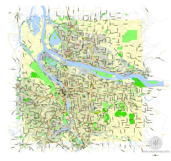
A general overview of the transportation and port infrastructure in Portland, Oregon.
Vectormap.Net provide you with the most accurate and up-to-date vector maps in Adobe Illustrator, PDF and other formats, designed for editing and printing. Please read the vector map descriptions carefully.
Transportation Infrastructure:
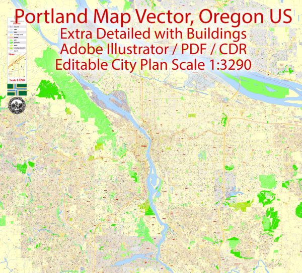
- Highways: Portland is well-connected by a network of highways. Interstate 5 (I-5) runs north-south through the city, connecting it to other major cities along the West Coast. Interstate 84 (I-84) provides an east-west route, connecting Portland to cities in Oregon and beyond.
- Public Transportation: Portland is known for its extensive public transportation system managed by TriMet. This includes buses, MAX light rail, and the Portland Streetcar. The MAX system connects various parts of the city and extends to neighboring areas.
- Bicycling and Walking: Portland is renowned for its bike-friendly environment. The city has an extensive network of bike lanes and dedicated paths, encouraging cycling as a mode of transportation. Additionally, pedestrian-friendly neighborhoods and walkable areas contribute to sustainable transportation options.
- Airport: Portland International Airport (PDX) is the primary airport serving the region. It offers domestic and international flights, making it a major transportation hub for air travel.
- Rail: Union Station in downtown Portland serves as a transportation hub for Amtrak services, including the popular Cascades route connecting Portland to cities in Washington and beyond.
Port Infrastructure:
- Port of Portland: The Port of Portland is a major seaport located along the Columbia and Willamette Rivers. It serves as a crucial gateway for international trade and commerce. The port handles various types of cargo, including containers, bulk goods, and automobiles.
- Terminals: The Port of Portland consists of multiple terminals, each specializing in handling different types of cargo. Terminal 2 is a major container terminal, while Terminal 6 is equipped for container and breakbulk cargo. Terminal 4 handles bulk commodities.
- River Transportation: The port’s location along navigable rivers allows for river transportation, enabling the movement of goods to and from the port.
- Connectivity: The port is well-connected to the national transportation network through road and rail connections. It has direct access to major highways and rail lines, facilitating the efficient movement of cargo to and from the port.
- Economic Impact: The Port of Portland plays a vital role in the region’s economy, supporting jobs and contributing to trade and commerce. It serves as a key transportation link for businesses engaged in both import and export activities.
It’s important to verify this information with the latest sources, as infrastructure projects and developments may have occurred since my last update.

 Author: Kirill Shrayber, Ph.D. FRGS