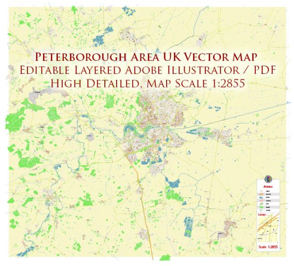
A general overview of Peterborough’s urban history and street system up to that point.
Vectormap.Net provide you with the most accurate and up-to-date vector maps in Adobe Illustrator, PDF and other formats, designed for editing and printing. Please read the vector map descriptions carefully.
Urban History:
Roman Period:
Peterborough has a rich history that dates back to the Roman period. The Romans established a settlement here, and evidence of their presence can be seen in archaeological finds. The town was strategically located at the intersection of important Roman roads, making it a key point for trade and transportation.
Medieval Period:
During the medieval period, Peterborough became known for its monastery, which was founded in the 7th century and later rebuilt as Peterborough Cathedral. The monastery played a significant role in the development of the town, attracting pilgrims and contributing to its economic and cultural growth.
Market Town:
Peterborough evolved into a market town over the centuries, with a market square becoming a focal point for trade and commerce. The town’s economy thrived on agriculture, trade, and later, industry.
Industrial Revolution:
The Industrial Revolution brought further changes to Peterborough, as it did to many other towns in the UK. Industrialization led to population growth and increased urbanization, transforming the town’s landscape.
20th Century:
In the 20th century, Peterborough continued to develop as a regional center. The expansion of transportation networks, including railways and roads, further connected Peterborough to other parts of the country.
Street System:
City Center:
Peterborough’s city center is characterized by a mix of historic and modern architecture. The Cathedral Square, located in the heart of the city, is surrounded by shops, restaurants, and cultural institutions.
Road Network:
The road network in Peterborough is well-developed, with several major roads connecting the town to nearby cities. The A1(M) motorway, one of the main north-south routes in the UK, passes close to Peterborough, facilitating transportation and commerce.
Railways:
Peterborough is a major railway hub, with a central railway station that connects the town to various destinations across the country. The railway has been crucial for both passenger and freight transportation.
Suburban Areas:
The town has expanded into suburban areas over the years, with residential neighborhoods, schools, and recreational facilities. Suburban development has been influenced by both historical factors and contemporary urban planning principles.


 Author: Kirill Shrayber, Ph.D.