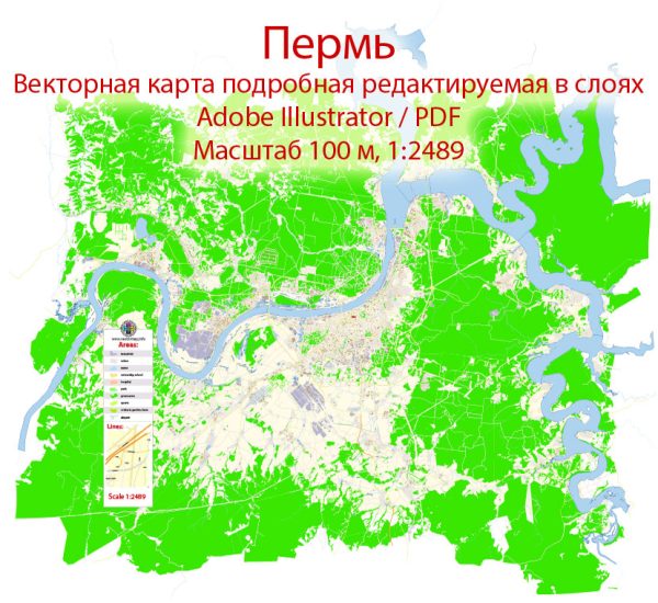
Some general information about Perm, Russia.
Vectormap.Net provide you with the most accurate and up-to-date vector maps in Adobe Illustrator, PDF and other formats, designed for editing and printing. Please read the vector map descriptions carefully.
Perm is a city located in the European part of Russia, in the Ural Mountains, along the banks of the Kama River. It is the administrative center of Perm Krai.
Here is a brief overview of the urban history and street system of Perm:
Urban History:
- Foundation and Early History:
- Perm was founded in 1723 as a copper and iron mining settlement. The city played a significant role in the industrial development of the Ural region.
- In the 19th century, Perm became an important industrial and cultural center, with the growth of metallurgy, machine building, and other industries.
- Soviet Era:
- During the Soviet era, Perm continued to thrive as an industrial hub, with a focus on heavy industry and military production.
- The city underwent significant development in terms of infrastructure, including the establishment of educational institutions and cultural facilities.
- Post-Soviet Period:
- After the collapse of the Soviet Union in 1991, Perm, like many other Russian cities, underwent economic changes and challenges.
- The city has since diversified its economy, with a growing emphasis on technology, education, and cultural activities.
Street System:
- City Layout:
- Perm’s street system is typical of many Russian cities, with a grid pattern in the central area and radial streets extending outward.
- The city center is often characterized by historical buildings, parks, and cultural institutions.
- Key Streets and Areas:
- Lenin Street (Lenina): One of the central streets in Perm, often hosting events and gatherings. It is lined with shops, cafes, and historical buildings.
- Komsomolsky Prospekt: Another important avenue, featuring a mix of residential and commercial areas.
- Ulitsa Gagarina: Named after Yuri Gagarin, this street is known for various shops and services.
- Downtown Area: This region typically contains the main government buildings, cultural centers, and historical landmarks.
- Public Spaces:
- Perm Opera and Ballet Theatre: A significant cultural landmark in the city.
- Perm State Art Gallery: Showcasing a diverse collection of art.
- Kama River Embankment: A popular spot for recreation, with parks, walking paths, and views of the river.
- Transportation:
- Perm has a well-developed public transportation system, including buses and trams.
- The city is served by the Perm International Airport.
- In recent years, efforts have been made to improve pedestrian zones and promote cycling.
Remember that this information is based on the state of Perm as of early 2022, and developments may have occurred since then. For the most up-to-date and detailed information, it’s recommended to consult local sources or recent publications about Perm.


 Author: Kirill Shrayber, Ph.D. FRGS