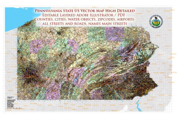
Pennsylvania is a landlocked state in the northeastern and Mid-Atlantic regions of the United States, and it doesn’t have direct access to the ocean.
Vectormap.Net provide you with the most accurate and up-to-date vector maps in Adobe Illustrator, PDF and other formats, designed for editing and printing. Please read the vector map descriptions carefully.
However, it is home to numerous rivers, lakes, and reservoirs that play vital roles in the state’s geography, economy, and recreational activities.
Rivers:
- Susquehanna River: The Susquehanna is the longest river in the eastern United States, flowing approximately 444 miles. It starts in Cooperstown, New York, and eventually empties into the Chesapeake Bay. In Pennsylvania, it passes through various cities, including Harrisburg, the state capital.
- Delaware River: The Delaware River forms the eastern border of Pennsylvania and serves as part of the border between Pennsylvania and New Jersey. It’s a major river in the region, flowing southward into the Delaware Bay and eventually the Atlantic Ocean. Cities like Easton and Philadelphia are situated along its course.
- Allegheny River: Originating in Potter County, the Allegheny River flows southwest into Pittsburgh, where it joins the Monongahela River to form the Ohio River. It plays a crucial role in the development of the western part of the state.
- Monongahela River: The Monongahela River also converges with the Allegheny in Pittsburgh to create the Ohio River. It flows northward from West Virginia into southwestern Pennsylvania.
Lakes and Reservoirs:
- Lake Erie: While the majority of Lake Erie is not within Pennsylvania’s borders, a small section of the lake lies in the state’s northwestern corner. Presque Isle State Park, near Erie, is a popular destination along the lake.
- Raystown Lake: Located in the Allegheny Mountains, Raystown Lake is a large reservoir in south-central Pennsylvania. It’s a popular spot for boating, fishing, and camping.
- Lake Wallenpaupack: Situated in the Pocono Mountains, Lake Wallenpaupack is one of the largest man-made lakes in the state. It’s a popular recreational destination, offering boating, fishing, and hiking opportunities.
Sea Harbors and Bays: Pennsylvania doesn’t have direct access to the sea, so it doesn’t have natural sea harbors or bays. However, the Delaware River, with its ports in Philadelphia and Camden, New Jersey, serves as a major hub for shipping and commerce. The Port of Philadelphia is one of the largest freshwater ports in the world.
Bays: While not directly in Pennsylvania, the Delaware Bay, which is an estuary where the Delaware River meets the Atlantic Ocean, is significant for the region and serves as a major shipping channel.
Pennsylvania’s waterways contribute significantly to the state’s economy, transportation, and recreational activities, making them essential features of its geography.


 Author: Kirill Shrayber, Ph.D. FRGS