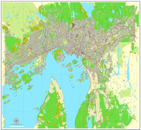
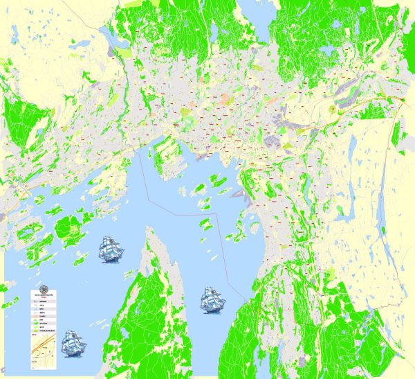
A general overview of the transportation and port infrastructure in Oslo, Norway.
Vectormap.Net provide you with the most accurate and up-to-date vector maps in Adobe Illustrator, PDF and other formats, designed for editing and printing. Please read the vector map descriptions carefully.
Transportation Infrastructure:
- Public Transportation:
- Metro (T-bane): Oslo has an extensive metro system operated by Ruter. It consists of six lines that connect various parts of the city and the surrounding areas.
- Trams: Trams are an essential part of Oslo’s public transportation system, covering several routes within the city.
- Buses: A comprehensive bus network serves Oslo and its suburbs, providing additional connectivity to areas not covered by the metro and tram systems.
- Ferries: Oslo’s proximity to the Oslo Fjord allows for ferry services connecting the city center to nearby islands and coastal areas.
- Cycling and Pedestrian Infrastructure:
- Oslo has made significant investments in cycling infrastructure, with dedicated bike lanes and bike-sharing programs to promote sustainable transportation.
- The city also has pedestrian-friendly zones, making it convenient for people to walk around the city center.
- Road Network:
- Oslo is well-connected by roads and highways, facilitating the movement of private vehicles and freight transport.
- The city has implemented measures to reduce traffic congestion and promote environmentally friendly transportation, such as tolls and restrictions on vehicle access in certain areas.
- Airport:
- Oslo Gardermoen Airport (OSL) is the primary international airport serving Oslo. It is located about 35 kilometers northeast of the city center.
- The airport has excellent connectivity with numerous international and domestic flights, making it a major hub for air travel.
Port Infrastructure:
- Port of Oslo:
- The Port of Oslo is a significant maritime gateway for the region. It is situated at the head of the Oslo Fjord.
- The port handles a variety of cargo, including containers, general cargo, and bulk cargo.
- Passenger traffic is also substantial, with ferries and cruise ships departing from the port to domestic and international destinations.
- The port facilities include container terminals, cargo handling equipment, and passenger terminals.
- Cruise Terminals:
- Oslo is a popular cruise destination, and the city has dedicated cruise terminals to accommodate large cruise ships.
- Cruise terminals are well-equipped to handle the influx of tourists, providing necessary services and amenities.
- Ferry Services:
- Ferry services operate from Oslo to nearby islands and coastal areas, offering both passenger and cargo transportation.
- These ferry services contribute to the overall connectivity of the region.


 Author: Kirill Shrayber, Ph.D. FRGS