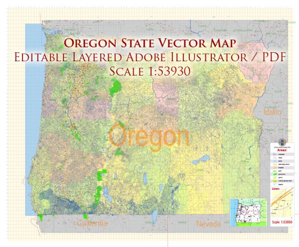
A general overview of the cities, towns, roads, and maritime infrastructure in Oregon.
Vectormap.Net provide you with the most accurate and up-to-date vector maps in Adobe Illustrator, PDF and other formats, designed for editing and printing. Please read the vector map descriptions carefully.
Cities and Towns:
- Portland:
- Largest city in Oregon.
- Known for its vibrant culture, diverse neighborhoods, and eco-friendly initiatives.
- Major economic sectors include technology, manufacturing, and transportation.
- Salem:
- Capital city of Oregon.
- Features historic sites and cultural attractions.
- Eugene:
- Home to the University of Oregon.
- Known for outdoor activities, arts, and a strong focus on sustainability.
- Medford:
- Located in southern Oregon.
- Serves as a hub for the surrounding agricultural region.
- Bend:
- Located in central Oregon.
- Popular for outdoor recreation, including hiking, skiing, and mountain biking.
- Corvallis:
- Home to Oregon State University.
- Emphasis on education and research.
- Ashland:
- Famous for the Oregon Shakespeare Festival.
- Located in the southern part of the state.
Roads and Transportation:
- Interstate Highways:
- I-5: Runs north-south, connecting major cities like Portland, Salem, and Medford.
- I-84: East-west route connecting Oregon with Idaho and the eastern United States.
- State Highways:
- Oregon has an extensive network of state highways connecting cities, towns, and scenic areas.
- Public Transportation:
- Portland has a well-developed public transit system, including buses and light rail.
Maritime Infrastructure:
- Ports:
- Portland and Astoria have major ports on the Columbia River.
- Coos Bay serves as a significant port on the southern Oregon coast.
- Rivers:
- The Columbia River forms part of the northern border and is vital for transportation and commerce.
- The Willamette River flows through Portland and is a tributary of the Columbia.
- Coastline:
- Oregon has a diverse coastline along the Pacific Ocean, featuring rugged cliffs, sandy beaches, and picturesque coastal towns.
- Marine Activities:
- Fishing is a significant maritime activity, with ports like Newport and Astoria supporting the fishing industry.
- Ferries:
- While there are some ferry services on rivers, they are not as prevalent as in other regions.
It’s advisable to check for the latest information from local sources or government websites for the most up-to-date details on cities, towns, roads, and maritime infrastructure in Oregon.


 Author: Kirill Shrayber, Ph.D. FRGS