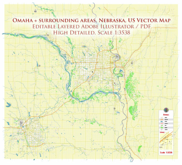
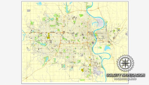
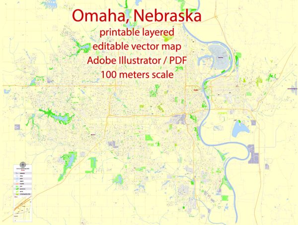
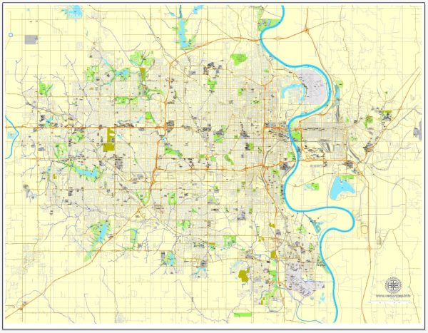
Omaha, Nebraska, is the largest city in the state and is located along the Missouri River in the Midwestern United States. The city is known for its diverse neighborhoods, historic districts, and vibrant communities.
Vectormap.Net provide you with the most accurate and up-to-date vector maps in Adobe Illustrator, PDF and other formats, designed for editing and printing. Please read the vector map descriptions carefully.
Districts:
- Downtown Omaha:
- The heart of the city, Downtown Omaha is a mix of business, entertainment, and residential areas. It includes the Old Market, a historic district with cobblestone streets, brick buildings, and a lively atmosphere filled with restaurants, shops, and art galleries.
- Old Market:
- This historic district is known for its unique architecture, cultural attractions, and a variety of dining and shopping options. It’s a popular destination for locals and tourists alike.
- Midtown Crossing:
- A mixed-use development in midtown Omaha that features retail, dining, and residential spaces. It’s designed to create a vibrant urban community with a focus on entertainment and lifestyle.
- Blackstone District:
- Located just west of Midtown, the Blackstone District is a trendy neighborhood with a mix of historic charm and modern amenities. It’s known for its craft breweries, eclectic dining options, and a thriving nightlife scene.
- Aksarben Village:
- Aksarben (Nebraska spelled backward) Village is a redevelopment project that includes shopping, dining, and entertainment options. It’s also home to the University of Nebraska Omaha’s south campus.
Communities:
- West Omaha:
- This area is characterized by suburban neighborhoods, shopping centers, and parks. It’s a family-friendly part of the city with good schools and recreational facilities.
- South Omaha:
- Known for its cultural diversity, South Omaha has a strong Hispanic influence, with a variety of ethnic markets, restaurants, and community events. The area has a mix of residential and industrial zones.
- North Omaha:
- Historically, North Omaha has been a center of African-American culture and is home to several historic neighborhoods. It has undergone revitalization efforts in recent years, focusing on economic development and community engagement.
- East Omaha:
- This area is primarily industrial but also includes some residential neighborhoods. It’s home to the Eppley Airfield and the Carter Lake recreational area.
Street System:
Omaha’s street system follows a grid pattern, with numbered streets running north-south and named streets running east-west. The city is known for its relatively easy-to-navigate layout. Downtown Omaha has a mix of one-way and two-way streets.
Major streets and roads include Dodge Street (east-west), Farnam Street, Cuming Street, and Abbott Drive. Interstate 80 and Interstate 480 provide important transportation routes, and the city is bisected by the Missouri River.


 Author: Kirill Shrayber, Ph.D. FRGS