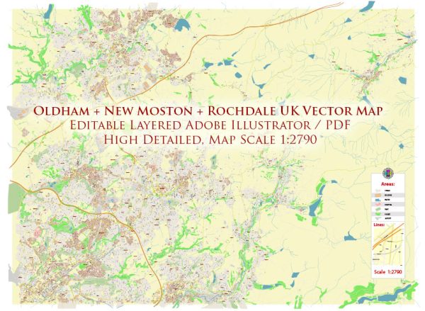
A general overview of the history and street systems of Oldham, New Moston, and Rochdale in the United Kingdom.
Vectormap.Net provide you with the most accurate and up-to-date vector maps in Adobe Illustrator, PDF and other formats, designed for editing and printing. Please read the vector map descriptions carefully.
Oldham:
History: Oldham is a town in Greater Manchester, England, with a rich industrial history. In the late 18th and early 19th centuries, Oldham experienced significant industrialization, particularly in cotton spinning and weaving. The town’s cotton mills played a crucial role in the Industrial Revolution.
Street System: Oldham has a network of roads that connect various neighborhoods and commercial areas. Some key roads include:
- High Street: The main street in Oldham, historically significant for commerce and trade.
- Union Street: Another important thoroughfare with shops, businesses, and historical buildings.
- Manchester Street: Connecting Oldham to nearby Manchester, it serves as a major route for commuters.
New Moston:
History: New Moston is a suburb located to the northeast of Manchester. Historically, it was a rural area, but urbanization and residential development occurred in the 20th century.
Street System: New Moston’s street system consists of residential streets and local roads. Key streets include:
- Moston Lane: A major road running through the area, connecting New Moston to nearby neighborhoods.
- Hollinwood Avenue: Providing access to various residential areas and connecting to broader transportation networks.
Rochdale:
History: Rochdale is a market town in Greater Manchester with a history dating back to the medieval period. It became an important center for woolen and cotton industries during the Industrial Revolution.
Street System: Rochdale’s street system has evolved over the years. Some significant streets and areas include:
- Drake Street: Historically, an important street for commerce and shopping.
- Yorkshire Street: Another key street in the town center with shops and businesses.
- Milkstone Road: Connecting different parts of Rochdale and serving as a route for transportation.
It’s essential to consult local authorities, historical societies, or updated sources for the latest information on urban development, street systems, and historical aspects of these areas. Local archives, libraries, or municipal websites may provide more detailed and current information.


 Author: Kirill Shrayber, Ph.D. FRGS