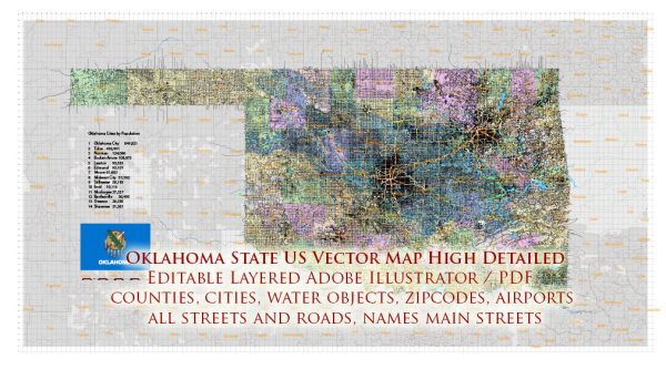
Oklahoma is a state located in the South Central region of the United States. It is known for its diverse geography, including plains, hills, and forests.
Vectormap.Net provide you with the most accurate and up-to-date vector maps in Adobe Illustrator, PDF and other formats, designed for editing and printing. Please read the vector map descriptions carefully.
Here is a detailed description of some of the main cities, towns, and roadways in Oklahoma:
Main Cities:
- Oklahoma City:
- The capital and largest city of Oklahoma.
- Known for its vibrant cultural scene, including museums, theaters, and art galleries.
- Home to the Oklahoma City Thunder NBA team.
- Important economic hub with a focus on energy, aerospace, and healthcare industries.
- Tulsa:
- The second-largest city in Oklahoma.
- A major center for the oil and gas industry.
- Rich cultural offerings, with museums, parks, and a lively music scene.
- The city is situated on the Arkansas River.
- Norman:
- Home to the University of Oklahoma.
- Known for its college town atmosphere and vibrant student life.
- Hosts various cultural events and festivals throughout the year.
- Edmond:
- A suburb of Oklahoma City.
- Offers a mix of residential and commercial areas.
- Known for its quality schools and family-friendly environment.
- Lawton:
- Located in the southwestern part of the state.
- Home to Fort Sill, a U.S. Army post.
- Known for its military presence and historical sites.
Towns:
- Broken Arrow:
- A suburb of Tulsa.
- One of the fastest-growing cities in Oklahoma.
- Offers a mix of residential and commercial development.
- Stillwater:
- Home to Oklahoma State University.
- Known for its agricultural and educational contributions.
- Features a mix of small-town charm and university culture.
- Enid:
- Located in north-central Oklahoma.
- Known for its agricultural and manufacturing sectors.
- Has a historic downtown area with a variety of shops and restaurants.
Roads:
- Interstate Highways:
- I-35: Runs north-south through central Oklahoma, connecting cities like Oklahoma City and Norman.
- I-40: Crosses the state from the west to the east, passing through Oklahoma City and providing a major east-west route.
- I-44: Runs diagonally from the southwest to the northeast, connecting Lawton, Oklahoma City, and Tulsa.
- Turnpikes:
- Oklahoma has several toll roads, including the Turner Turnpike (I-44), Will Rogers Turnpike (I-44), and H.E. Bailey Turnpike (I-44).
- U.S. Highways:
- Major U.S. routes like US-69, US-75, and US-412 connect various cities and towns.
- State Highways:
- A network of state highways serves to connect smaller towns and rural areas.
Overall, Oklahoma’s cities, towns, and roadways contribute to the state’s unique blend of urban and rural lifestyles, offering residents and visitors a diverse range of experiences.


 Author: Kirill Shrayber, Ph.D. FRGS