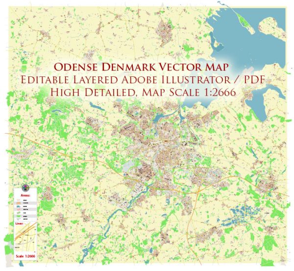
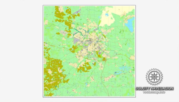
A general overview of the industrial history, port, and road system in Odense, Denmark.
Vectormap.Net provide you with the most accurate and up-to-date vector maps in Adobe Illustrator, PDF and other formats, designed for editing and printing. Please read the vector map descriptions carefully.
Industrial History: Odense has a rich industrial history that dates back to the 19th century. Historically, the city has been associated with shipbuilding and manufacturing. One of the most notable industrial companies in Odense is the Odense Steel Shipyard (now part of the Odense Maritime Technology group), which has been a significant player in the global shipbuilding industry. The shipyard has constructed a wide range of vessels, including cargo ships, container ships, and ferries.
In addition to shipbuilding, Odense has a diverse industrial base that includes manufacturing, engineering, and technology sectors. The city has embraced innovation and technology, contributing to its status as a hub for various industries.
Port of Odense: The Port of Odense is a vital maritime gateway for the city and the region. It plays a crucial role in facilitating trade and transportation. The port handles various types of cargo, including containers, bulk goods, and general cargo. The port’s infrastructure supports the efficient movement of goods, and it has likely undergone modernization and expansion efforts over the years to enhance its capacity and capabilities.
The Port of Odense is strategically located, providing access to international shipping routes. Its connectivity to road and rail networks further strengthens its position as a key transportation hub in the region.
Road System: Odense has a well-developed road system that connects the city to other parts of Denmark and Europe. The city is a major transportation hub with a network of highways and roads that facilitate the movement of goods and people. The E20 motorway, one of the main highways in Denmark, passes through Odense, connecting the city to Copenhagen in the east and Esbjerg in the west.
Local road infrastructure within Odense ensures efficient transportation within the city and its surrounding areas. The road system is designed to accommodate both private and commercial traffic, supporting the economic activities of the region.
Overall, the industrial history, port, and road system of Odense collectively contribute to the city’s economic significance and its role in regional and international trade. Keep in mind that developments may have occurred since my last update, and for the latest and most accurate information, it’s advisable to consult local sources or official documents related to Odense’s infrastructure.


 Author: Kirill Shrayber, Ph.D.