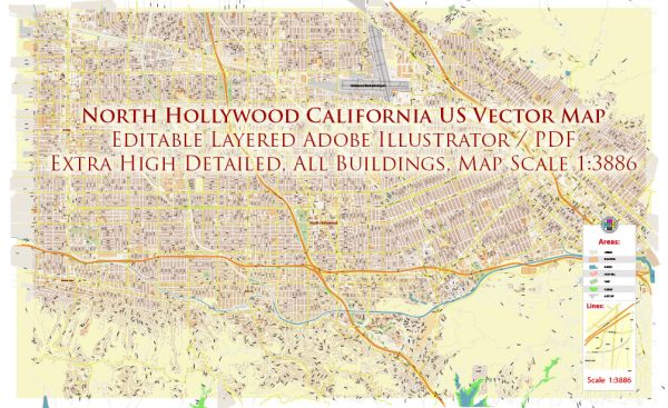
North Hollywood is a neighborhood located in the San Fernando Valley region of Los Angeles, California, United States. It has a rich history and is known for its vibrant cultural scene, diverse population, and significant contributions to the entertainment industry. The neighborhood has evolved over the years, and its transportation infrastructure has played a crucial role in shaping its development.
Vectormap.Net provide you with the most accurate and up-to-date vector maps in Adobe Illustrator, PDF and other formats, designed for editing and printing. Please read the vector map descriptions carefully.
History:
- Early Settlement: The area that is now North Hollywood was initially settled by Native American tribes before European colonization. Spanish explorers and missionaries later arrived in the region.
- Ranching and Agriculture: In the 19th century, the land was used primarily for ranching and agriculture. The arrival of the Southern Pacific Railroad in the late 19th century facilitated transportation and contributed to the growth of the community.
- Lankershim Ranch: In 1887, the Lankershim Ranch Land and Water Company was established, and it played a pivotal role in the development of the area. The company attracted settlers and promoted the cultivation of crops, transforming the region into a prosperous agricultural hub.
- Hollywood Land Boom: The land boom in the early 20th century, coupled with the burgeoning film industry, led to the growth of nearby Hollywood and the surrounding areas, including North Hollywood.
- Suburban Development: After World War II, North Hollywood experienced significant suburban development. The construction of homes, schools, and businesses attracted a growing population seeking a suburban lifestyle close to the entertainment industry.
Transportation Infrastructure:
- Railroads: The Southern Pacific Railroad, which arrived in the late 19th century, was a crucial factor in the early development of the region. Later, the Pacific Electric Railway provided interurban rail service, connecting North Hollywood to other parts of Los Angeles.
- Streetcar System: The Pacific Electric Red Car system, a vast network of streetcars, was a major mode of transportation in the early 20th century. This system facilitated the movement of people and goods within the Los Angeles area, including North Hollywood.
- Highways: The construction of the Ventura Freeway (U.S. Route 101) in the 1950s had a significant impact on North Hollywood’s accessibility and growth. It provided a faster and more convenient route for commuters, linking the neighborhood to downtown Los Angeles and other parts of Southern California.
- Public Transit: The Los Angeles County Metropolitan Transportation Authority (Metro) provides bus services in the area. Additionally, the North Hollywood Metro Station, part of the Red Line subway system, serves as a major transportation hub connecting North Hollywood to downtown Los Angeles and beyond.
- Bike Lanes and Walkability: In recent years, efforts have been made to improve bike lanes and enhance walkability in North Hollywood, promoting sustainable and alternative modes of transportation.
Overall, North Hollywood’s history and transportation infrastructure reflect the broader development trends in the Los Angeles area, with a transition from rural and agricultural roots to a bustling suburban community connected by a network of railways, highways, and public transit systems.


 Author: Kirill Shrayber, Ph.D. FRGS