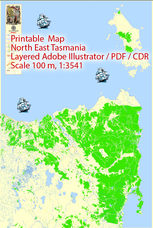
A general overview of the cities, towns, roads, and maritime infrastructure in North East Tasmania.
Vectormap.Net provide you with the most accurate and up-to-date vector maps in Adobe Illustrator, PDF and other formats, designed for editing and printing. Please read the vector map descriptions carefully.
Cities and Towns:
- Launceston: Located in northern Tasmania, Launceston is the second-largest city in the state and serves as a major regional center. It is known for its historical architecture, vibrant arts scene, and the scenic Cataract Gorge.
- George Town: Situated at the mouth of the Tamar River, George Town is an important port town with historical significance. It houses various historical sites, including the Low Head Pilot Station.
- Scottsdale: A town in the northeast, Scottsdale is known for its agricultural activities, including forestry and dairy farming. It’s an essential service center for the surrounding rural areas.
- Bridport: A coastal town popular for its beaches and golf courses, Bridport is a recreational destination. It’s located on the shores of Anderson Bay and is known for the Barnbougle Dunes and Lost Farm golf courses.
Roads: The road network in North East Tasmania connects various towns and provides access to scenic landscapes. Major highways and roads include:
- East Tamar Highway (A8): Connects Launceston to George Town, passing through various smaller towns.
- B81 (Tamar Valley Wine Route): Runs along the Tamar River, passing through vineyards and providing access to wineries.
- B82 (Dorset Highway): Connects Launceston to Scottsdale and Bridport, passing through the agricultural areas of the region.
Maritime Infrastructure:
- Ports: Launceston and George Town have important ports catering to shipping and trade activities. These ports contribute significantly to the regional economy by facilitating the transport of goods.
- Coastline: The northeast coast of Tasmania features several smaller ports and coastal areas. Fishing is an essential industry in these regions.
- Ferries: While there may not be extensive ferry services in this region, ferries could be available for transport between nearby islands or for tourism purposes.
It’s important to note that infrastructure and development can change over time, so consulting local government sources or recent maps for the latest information is advisable.


 Author: Kirill Shrayber, Ph.D.