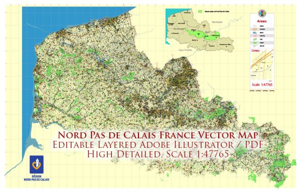
A general overview of the Nord-Pas-de-Calais region in France, including its cities, towns, roads, and maritime infrastructure.
Vectormap.Net provide you with the most accurate and up-to-date vector maps in Adobe Illustrator, PDF and other formats, designed for editing and printing. Please read the vector map descriptions carefully.
Nord-Pas-de-Calais Overview: Nord-Pas-de-Calais is a former administrative region in northern France, which was merged with the Picardy region to form the new administrative region of Hauts-de-France. The region is characterized by its strategic location as a crossroads between France, Belgium, and the United Kingdom, making it an important economic and transportation hub.
Major Cities:
- Lille: The largest city in the region and a major cultural and economic center. Lille is known for its historic architecture, vibrant arts scene, and lively atmosphere.
- Calais: Situated on the English Channel coast, Calais is a significant port city and a major gateway between France and the UK. It’s known for its ferry services and the Channel Tunnel, providing rail connectivity with the UK.
- Dunkerque (Dunkirk): Another important coastal city with a major seaport. Dunkirk has historical significance, particularly during World War II.
- Arras: Recognized for its well-preserved medieval architecture, including the stunning Grand Place and the famous Arras tunnels from World War I.
- Boulogne-sur-Mer: A coastal town with a busy fishing port and a historic old town. It is also known for Nausicaä, the National Sea Centre.
Roads: The region is well-connected by an extensive road network, with major highways and roads linking cities and towns. The A1, A2, A23, and A26 are some of the key autoroutes (expressways) in the region, facilitating transportation and commerce.
Maritime Infrastructure:
- Port of Calais: One of the busiest ports in France, serving as a major gateway for ferry services and the Channel Tunnel, connecting France with the UK.
- Port of Dunkirk: A significant deep-water port that handles various types of cargo, including containers, bulk cargo, and liquid bulk. It is one of the largest ports in France.
- Port of Boulogne-sur-Mer: Known for its importance in the fishing industry, this port is a key center for seafood processing and trade.
These ports play a crucial role in the economic activities of the region, contributing to trade, transportation, and industry.


 Author: Kirill Shrayber, Ph.D. FRGS