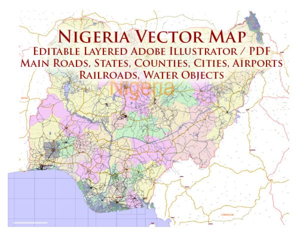
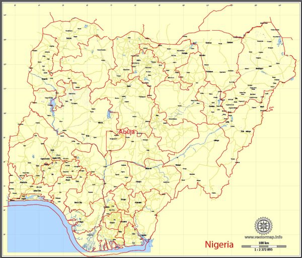
A general overview of Nigeria’s cities, towns, roads, and maritime infrastructure.
Vectormap.Net provide you with the most accurate and up-to-date vector maps in Adobe Illustrator, PDF and other formats, designed for editing and printing. Please read the vector map descriptions carefully.
Cities and Towns:
- Lagos:
- Lagos is Nigeria’s largest city and commercial capital. It’s located in the southwestern part of the country.
- The city is known for its vibrant atmosphere, business activities, and cultural diversity.
- Important landmarks include Victoria Island, Ikoyi, and the Lekki Peninsula.
- Abuja:
- Abuja is the capital city of Nigeria, located in the center of the country.
- It was established as the capital in 1991, and it serves as the political and administrative center.
- Kano:
- Kano is a major city in northern Nigeria, known for its rich history and cultural heritage.
- It has a prominent role in trade, commerce, and agriculture.
- Ibadan:
- Ibadan is one of the largest cities in Nigeria and is situated in the southwestern part of the country.
- It is known for its historical sites, such as the University of Ibadan and Cocoa House.
- Port Harcourt:
- Port Harcourt is an important industrial and commercial hub, located in the southern part of Nigeria.
- It is a major center for the oil and gas industry.
- Enugu:
- Enugu is located in southeastern Nigeria and is known for its coal mining history.
- It is an important center for trade, education, and culture.
Roads:
- Federal Roads:
- Nigeria has an extensive network of federal roads connecting major cities and towns.
- Some major highways include the Lagos-Ibadan Expressway, Abuja-Kaduna-Zaria-Kano Highway, and the Enugu-Port Harcourt Expressway.
- State Roads:
- Each state in Nigeria has its own network of roads connecting various localities within the state.
Maritime Infrastructure:
- Ports:
- Nigeria has several major ports, including the Lagos Port Complex, Tin Can Island Port, Port Harcourt Port, and Onne Port.
- These ports play a crucial role in the country’s import and export activities.
- Inland Waterways:
- Nigeria has an extensive network of inland waterways, including the Niger River and Benue River.
- Inland water transport is vital for moving goods and people, especially in the central and northern regions.
- Shipping Companies:
- Numerous shipping companies operate in Nigerian waters, facilitating both domestic and international trade.
- Airports:
- Although not maritime, airports are critical for international and domestic travel. Major airports include Murtala Muhammed International Airport (Lagos), Nnamdi Azikiwe International Airport (Abuja), and Port Harcourt International Airport.
It’s essential to consult recent sources for the most up-to-date information, as infrastructure and urban landscapes can undergo changes over time.


 Author: Kirill Shrayber, Ph.D. FRGS