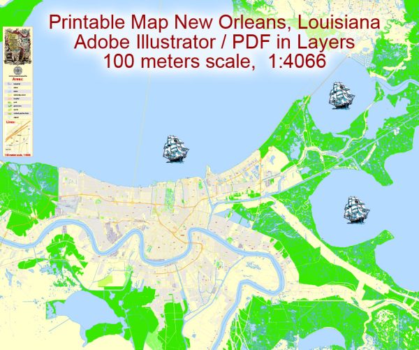
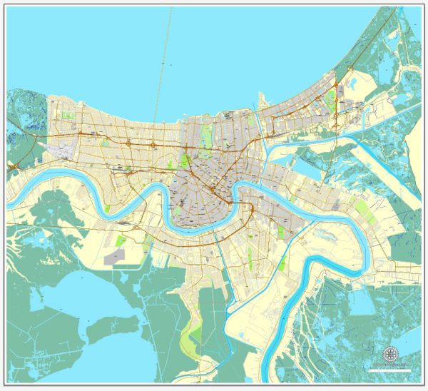
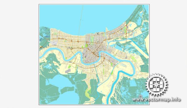
New Orleans, Louisiana, is known for its unique and vibrant neighborhoods, rich cultural heritage, and distinctive street layout. The city is divided into various districts and communities, each with its own character and charm.
Vectormap.Net provide you with the most accurate and up-to-date vector maps in Adobe Illustrator, PDF and other formats, designed for editing and printing. Please read the vector map descriptions carefully.
Here is a general overview:
- French Quarter (Vieux Carré):
- The oldest and most famous neighborhood in New Orleans.
- Known for its historic architecture, lively atmosphere, and iconic Bourbon Street.
- Features charming streets, balconies, and hidden courtyards.
- Marigny:
- Adjacent to the French Quarter, known for its bohemian atmosphere.
- Home to the historic Frenchmen Street, renowned for live music and eclectic venues.
- Central Business District (CBD):
- The city’s commercial hub with modern skyscrapers and office buildings.
- Features the Superdome, home of the New Orleans Saints, and the Smoothie King Center.
- Garden District:
- Known for its well-preserved antebellum mansions and lush gardens.
- Oak-lined streets and historic architecture contribute to its unique charm.
- Uptown:
- Encompasses several neighborhoods like Carrollton, Audubon, and Riverbend.
- Home to Tulane and Loyola universities, Audubon Park, and Magazine Street shopping.
- Bywater:
- An artsy and eclectic neighborhood with a mix of residential and industrial spaces.
- Features vibrant street art, unique galleries, and hip cafes.
- Lakeview:
- Located along the shores of Lake Pontchartrain.
- Offers scenic views, parks, and recreational opportunities.
- Mid-City:
- Situated between the Garden District and Gentilly.
- Home to City Park, the New Orleans Museum of Art, and the historic Bayou St. John.
- Gentilly:
- A diverse residential area with parks, schools, and community centers.
- Hosts the Fair Grounds Race Course, home of the New Orleans Jazz & Heritage Festival.
- Algiers:
- Across the Mississippi River, accessible by ferry or bridge.
- Features historic architecture and a small-town feel.
Street System:
- The French Quarter has narrow, winding streets laid out in a grid pattern, reflecting its historic origins.
- Outside the French Quarter, the city’s streets are laid out in a more conventional grid pattern.
- Major streets include Canal Street, St. Charles Avenue, Magazine Street, and Claiborne Avenue.
- The city is famous for its streetcars, especially the St. Charles Avenue Line, which is the oldest continuously operating streetcar line in the world.
It’s important to note that New Orleans’ geography, with its location below sea level and proximity to water bodies, has influenced the development of neighborhoods and the overall layout of the city. The diverse neighborhoods and unique cultural influences make New Orleans a city with a distinctive and captivating character.


 Author: Kirill Shrayber, Ph.D. FRGS