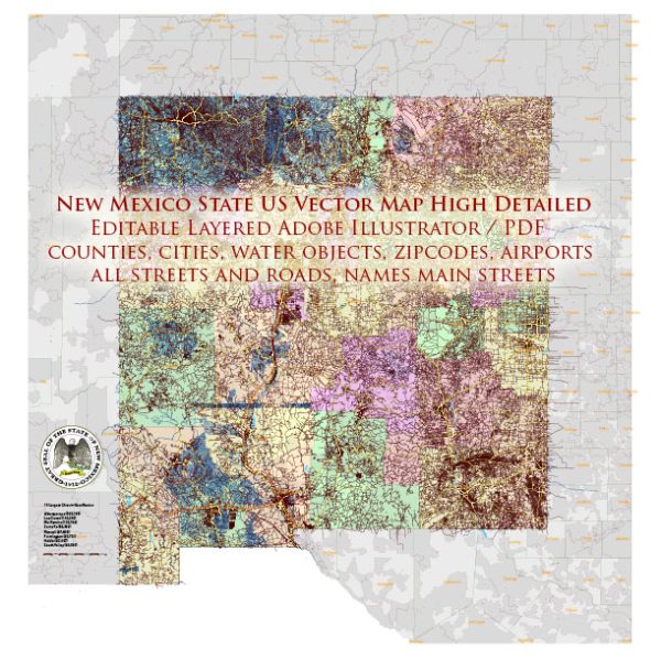
A general overview of some of the main cities, towns, and roads in the state of New Mexico, USA.
Vectormap.Net provide you with the most accurate and up-to-date vector maps in Adobe Illustrator, PDF and other formats, designed for editing and printing. Please read the vector map descriptions carefully.
Cities and Towns:
- Albuquerque: The largest city in New Mexico, situated in the central part of the state. Known for its rich cultural heritage, it is home to attractions like the Old Town Plaza, Sandia Peak Tramway, and the Albuquerque International Balloon Fiesta.
- Santa Fe: The state capital, located in the northern part of New Mexico. Santa Fe is renowned for its adobe architecture, vibrant arts scene, and historic sites such as the Palace of the Governors.
- Las Cruces: Positioned in the southern part of the state, Las Cruces is the second-largest city. It features the Organ Mountains, the historic Mesilla Plaza, and serves as a gateway to the White Sands National Park.
- Roswell: Located in southeastern New Mexico, Roswell gained fame for the alleged UFO incident in 1947. Today, it attracts visitors interested in UFO-related tourism and the International UFO Museum and Research Center.
- Taos: Nestled in the northern part of the state, Taos is known for its Pueblo-style architecture and the Taos Pueblo, a UNESCO World Heritage Site. The area is also popular for skiing and outdoor activities.
- Carlsbad: Found in the southeastern region, Carlsbad is home to Carlsbad Caverns National Park, a stunning underground cave system. The city is a hub for tourism related to the caverns.
Roads:
- Interstate 25 (I-25): A major north-south interstate highway passing through Albuquerque, Santa Fe, and Las Cruces. It connects New Mexico to Colorado in the north and Texas in the south.
- Interstate 40 (I-40): A significant east-west interstate that runs through Albuquerque, providing a major route across the state.
- US Route 84/285: This highway runs north from Santa Fe and serves as a major route connecting northern New Mexico to Colorado.
- US Route 70: Running east-west through southern New Mexico, US 70 passes through cities like Las Cruces and Alamogordo.
- State Route 68: Connecting Santa Fe to Taos, this scenic highway follows the Rio Grande and offers breathtaking views.
Toll Roads: As of my last knowledge update, there were no toll roads in New Mexico. However, it’s essential to check for the latest information as infrastructure and toll policies can change.
For the most accurate and up-to-date information on roads and highways in New Mexico, I recommend checking with the New Mexico Department of Transportation or other relevant authorities.


 Author: Kirill Shrayber, Ph.D. FRGS