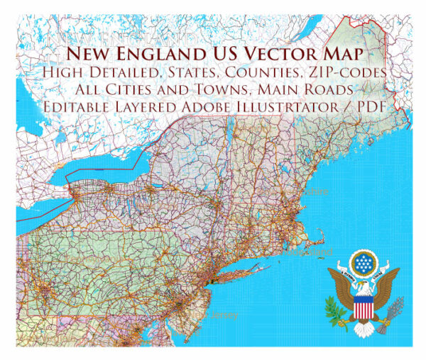
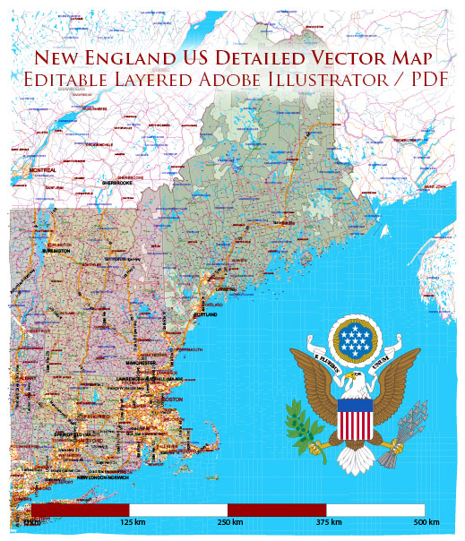
A general overview of the economic and transportation landscape in New England, which is a region in the northeastern United States consisting of Connecticut, Maine, Massachusetts, New Hampshire, Rhode Island, and Vermont.
Vectormap.Net provide you with the most accurate and up-to-date vector maps in Adobe Illustrator, PDF and other formats, designed for editing and printing. Please read the vector map descriptions carefully.
Economic Overview:
- Diversified Economy: New England has a diversified economy with strengths in various sectors, including technology, finance, healthcare, education, and manufacturing. Major industries in the region include biotechnology, information technology, financial services, and higher education.
- Technology and Innovation: The presence of prestigious universities and research institutions, such as MIT and Harvard, fosters a culture of innovation. The region is a hub for technology companies, startups, and research and development activities.
- Financial Services: The financial sector, particularly in Boston, plays a significant role in the regional economy. The city is home to several major financial institutions and investment firms.
- Healthcare and Biotechnology: Massachusetts, in particular, is known for its thriving healthcare and biotechnology sectors. The presence of renowned medical facilities and biotech companies contributes significantly to the regional economy.
- Tourism: New England attracts tourists with its historical sites, picturesque landscapes, and vibrant cultural events. Tourism is an important economic driver, especially during the fall foliage season.
- Education: The region is a hub for higher education, with many prestigious universities and colleges. This not only contributes to the knowledge economy but also attracts students and researchers from around the world.
Transportation Overview:
- Roads and Highways: New England has a well-developed network of roads and highways, facilitating intra and interstate transportation. Major highways include I-95, I-90 (the Massachusetts Turnpike), and I-93.
- Public Transportation: The Massachusetts Bay Transportation Authority (MBTA) provides public transportation services in the Greater Boston area, including buses, commuter rail, and subway (known as the “T”). Other urban areas also have public transit systems.
- Airports: The region is served by several major airports, including Logan International Airport in Boston, Bradley International Airport in Connecticut, and Manchester-Boston Regional Airport in New Hampshire.
- Ports: New England has several ports along its coastline, supporting maritime transportation and trade. The Port of Boston is one of the oldest and busiest ports in the United States.
- Railroads: Rail infrastructure is present, with Amtrak providing passenger rail services between major cities. Freight railroads also play a role in transporting goods.
- Bicycling and Pedestrian Infrastructure: Some cities in New England, like Boston and Cambridge, have invested in bicycle lanes and pedestrian-friendly infrastructure to promote sustainable transportation options.
- Challenges: Traffic congestion, especially in and around Boston, is a common challenge. Additionally, the region faces infrastructure maintenance and modernization needs to accommodate growing populations and economic activities.


 Author: Kirill Shrayber, Ph.D. FRGS