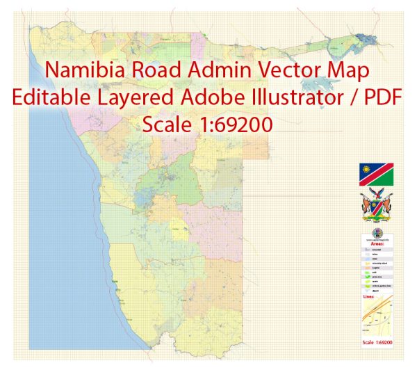
Namibia, located in southwestern Africa, has a rich history and a diverse transportation infrastructure that has evolved over the years.
Vectormap.Net provide you with the most accurate and up-to-date vector maps in Adobe Illustrator, PDF and other formats, designed for editing and printing. Please read the vector map descriptions carefully.
Here’s a detailed overview:
History:
- Pre-colonial Period: The region now known as Namibia was inhabited by various indigenous groups, including the San, Damara, and Nama peoples. These groups had distinct languages, cultures, and ways of life. The San people, in particular, are known for their rock art, which provides insights into their ancient way of life.
- Colonial Era: In the late 19th century, Namibia came under German colonial rule. The German South West Africa Company established control, leading to the exploitation of natural resources and clashes with indigenous communities. During World War I, South Africa occupied Namibia, and after the war, the League of Nations granted South Africa a mandate to administer the territory.
- Apartheid Period: Namibia endured decades of South African rule characterized by racial segregation and oppression. The struggle for independence gained momentum in the mid-20th century, led by groups such as the South West Africa People’s Organization (SWAPO). Namibia finally gained independence in 1990, following a long and protracted liberation struggle.
- Post-Independence: Since gaining independence, Namibia has focused on nation-building, economic development, and reconciliation. The country has enjoyed political stability, and its economy has shown steady growth, particularly in sectors such as mining, agriculture, and tourism.
Transportation Infrastructure:
- Roads: Namibia has an extensive road network, which is crucial for both domestic and international transportation. The country’s road infrastructure includes paved highways and gravel roads, connecting major cities and towns. The Trans-Kalahari Highway is a key route connecting Namibia to neighboring countries such as Botswana and South Africa.
- Railways: Namibia has a limited but important railway network, with the majority of rail transport linked to the mining industry. The railway system connects to neighboring countries, facilitating the export of minerals. The most significant rail link is the TransNamib railway, connecting the capital, Windhoek, to the port town of Walvis Bay.
- Airports: Air travel plays a crucial role in Namibia due to the vast and sparsely populated landscape. Hosea Kutako International Airport, located near Windhoek, is the main international gateway. Other major airports include Walvis Bay Airport and Eros Airport. Domestic flights connect major cities and towns, enhancing accessibility.
- Ports: The country has a major port at Walvis Bay, strategically positioned along the Atlantic coast. Walvis Bay serves as a crucial gateway for Namibia’s imports and exports, particularly for landlocked countries in the region.
- Ports and Harbors: Namibia’s coastal areas are served by ports and harbors, with Walvis Bay being the most significant. The port facilitates maritime trade and is crucial for the export of minerals, including uranium and diamonds.
Namibia’s history and transportation infrastructure reflect its journey from colonialism to independence and its commitment to economic development in the post-independence era. The country continues to invest in its infrastructure to support growth and connectivity.


 Author: Kirill Shrayber, Ph.D.