Munich, the capital and largest city of the state of Bavaria in Germany, has a rich urban history that spans over centuries. The city’s development is marked by its cultural, economic, and political significance. Some aspect of Munich’s urban history in detail, an overview along with a focus on its street system.
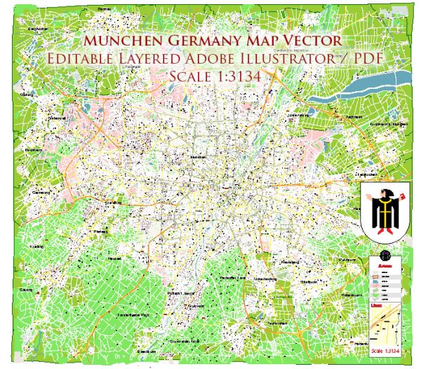
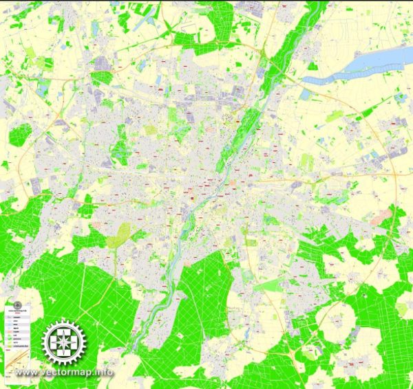
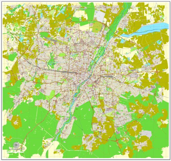
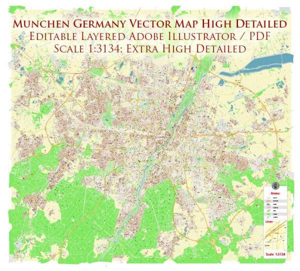
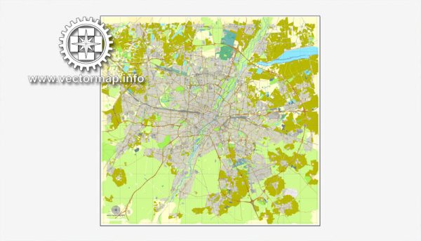
Vectormap.Net provide you with the most accurate and up-to-date vector maps in Adobe Illustrator, PDF and other formats, designed for editing and printing. Please read the vector map descriptions carefully.
Early History: Munich’s history dates back to the Middle Ages when it was founded by Henry the Lion, Duke of Saxony and Bavaria, in 1158. The city developed around the Old Town (Altstadt), with its medieval street layout characterized by narrow, winding streets. Over time, Munich became an important center for trade and commerce.
Renaissance and Baroque Periods: During the Renaissance and Baroque periods, Munich experienced significant architectural and urban development. The rulers of Bavaria, particularly the Wittelsbach family, played a crucial role in shaping the city’s landscape. Notable landmarks, such as the Munich Residenz (the royal palace), were constructed during this time. The street layout in the Old Town continued to reflect the organic growth of the medieval city.
19th Century Industrialization: The 19th century saw Munich’s transformation into an industrial and cultural hub. The city expanded beyond its medieval walls, and new districts were established. The Ludwigstrasse, a grand boulevard, was created during the reign of King Ludwig I, connecting the Old Town with the emerging cultural and academic institutions.
20th Century and World Wars: Munich faced significant challenges during the 20th century, including the aftermath of World War I and the rise of the Nazi party. The city played a central role in the early Nazi movement, with events like the Beer Hall Putsch occurring in Munich. World War II brought destruction to many parts of the city, and the post-war period involved extensive reconstruction efforts.
Modern Urban Planning: In the post-war era, Munich underwent extensive reconstruction and modernization. The city embraced modern urban planning principles, leading to the development of new neighborhoods and infrastructure. Munich’s street system evolved to accommodate the growing population and increased automobile traffic.
Contemporary Munich: Today, Munich is a vibrant metropolis known for its cultural richness, economic prosperity, and high quality of life. The city boasts a mix of historic and modern architecture, and its street system combines traditional winding streets in the Old Town with more modern, organized layouts in newer districts. Public transportation, including an extensive U-Bahn (subway) and bus network, plays a crucial role in the city’s mobility.
Notable Streets and Districts:
- Marienplatz: The central square in the heart of the Old Town, surrounded by historical buildings and the New Town Hall.
- Maximilianstrasse: A prestigious boulevard known for its luxury shops and cultural institutions.
- Schwabing: A bohemian district with a rich artistic and intellectual history.
- Leopoldstrasse: A major north-south avenue lined with shops, cafes, and cultural venues.
Munich’s urban history is a testament to its resilience and adaptability, reflecting the changes and challenges faced over the centuries. The city continues to evolve, balancing its rich heritage with the demands of a modern, dynamic society.

 Author: Kirill Shrayber, Ph.D. FRGS