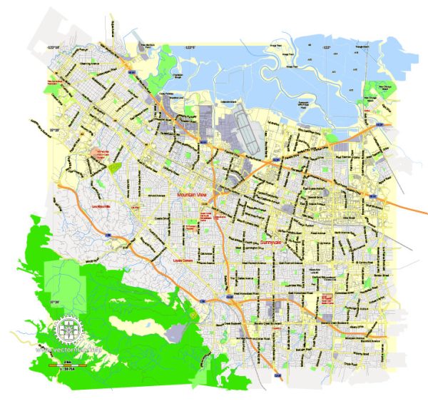
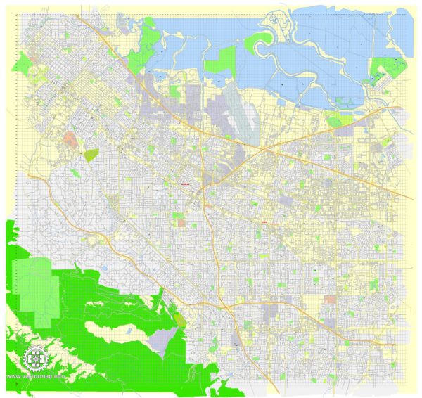
A general overview of Mountain View, California.
Vectormap.Net provide you with the most accurate and up-to-date vector maps in Adobe Illustrator, PDF and other formats, designed for editing and printing. Please read the vector map descriptions carefully.
Mountain View is a city located in Santa Clara County in the San Francisco Bay Area of California, USA. It is known for being part of Silicon Valley, home to many technology companies. The city is characterized by a mix of residential, commercial, and industrial areas.
Here’s a general description of some districts and communities within Mountain View:
- Downtown Mountain View:
- The downtown area is a vibrant and pedestrian-friendly district with a mix of shops, restaurants, and entertainment venues.
- Castro Street is the main thoroughfare in downtown, featuring a variety of dining options, cafes, and small businesses.
- The downtown area often hosts events, farmers’ markets, and cultural activities.
- Old Mountain View:
- This residential neighborhood is known for its historic charm and tree-lined streets.
- Old Mountain View features a mix of architectural styles, including some older homes and more modern developments.
- North Bayshore:
- North Bayshore is a primarily industrial and business district, home to many large technology companies and office parks.
- The area has undergone redevelopment and has seen the expansion of office spaces and amenities.
- Shoreline Area:
- The Shoreline area includes Shoreline Park and Shoreline Amphitheatre, providing recreational opportunities and hosting outdoor events and concerts.
- Monta Loma:
- This residential neighborhood is characterized by single-family homes and is situated in the northern part of the city.
- Sylvan Park:
- Another residential area with parks and schools, Sylvan Park is located to the southeast of the downtown area.
Regarding the street system, Mountain View has a well-organized grid pattern with numbered streets running east-west and named streets running north-south. Major roadways include El Camino Real, which is a major thoroughfare in the region, and Central Expressway, which connects Mountain View to neighboring cities.
It’s important to note that cities can undergo changes and developments over time, so I recommend checking with more recent sources or the official city website for the latest information on districts, communities, and street systems in Mountain View, California.


 Author: Kirill Shrayber, Ph.D. FRGS