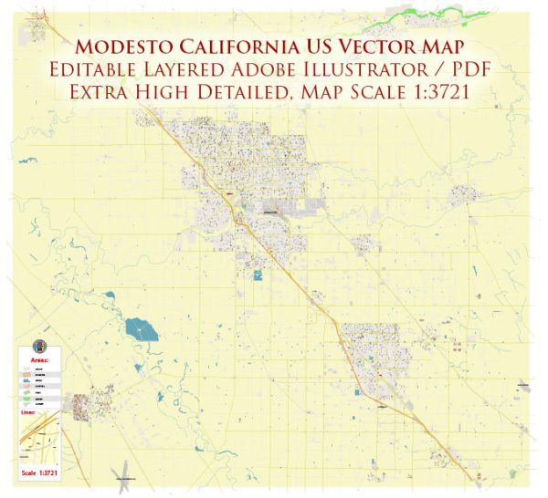
Modesto, California, is a city located in the Central Valley of California, United States.
Vectormap.Net provide you with the most accurate and up-to-date vector maps in Adobe Illustrator, PDF and other formats, designed for editing and printing. Please read the vector map descriptions carefully.
Here’s a brief overview of its urban history and street system:
Urban History:
- Early Settlement:
- Modesto’s history dates back to the mid-19th century when it was originally established as a station on the Central Pacific Railroad in 1870.
- The area was initially known as Ralston after financier William C. Ralston, but it was later renamed Modesto (Spanish for “modest”) in 1871.
- Agriculture played a crucial role in the early development of Modesto, with the fertile soils of the region supporting the growth of crops such as wheat, grain, and, later, fruits and nuts.
- Agricultural Growth:
- The city’s economy continued to be centered around agriculture, and by the early 20th century, Modesto had become a significant hub for the cultivation and processing of crops.
- Irrigation projects, such as the construction of the Modesto Irrigation District in 1887, further facilitated agricultural development in the region.
- Industrialization and Diversification:
- In the mid-20th century, Modesto underwent industrialization and diversification of its economy.
- The city experienced population growth, and suburban development became more prominent, especially in the post-World War II era.
- Cultural and Economic Developments:
- Modesto gained national attention in the 1970s with the success of filmmaker George Lucas, who set his iconic film “American Graffiti” in Modesto, reflecting the city’s car culture and the cruising scene of the 1960s.
- The city has continued to evolve, with ongoing efforts to balance urban development, economic growth, and the preservation of its agricultural heritage.
Street System: Modesto’s street system is designed in a grid pattern, typical of many American cities. Key features of the street system include:
- Grid Layout:
- The city’s streets generally follow a grid pattern, with numbered streets running north-south and named streets running east-west.
- The downtown area often features a more intricate grid, reflecting the city’s historical development.
- Downtown Modesto:
- Downtown Modesto serves as the city’s central business district and is characterized by a mix of historic and modern buildings.
- Streets in downtown Modesto may have wider sidewalks, street trees, and are often pedestrian-friendly to encourage commercial and social activities.
- Major Roads:
- Modesto is connected to major highways, including Highway 99 and Highway 132, providing essential transportation links within the region.
- Major arterial roads, such as McHenry Avenue and Carpenter Road, facilitate traffic flow and connect different neighborhoods.
- Neighborhoods:
- Modesto is divided into various neighborhoods, each with its own distinct character and community atmosphere.
- Residential areas are often connected by a network of local streets, providing access to schools, parks, and community amenities.
As with any city, Modesto’s urban history and street system have evolved over time, influenced by factors such as economic shifts, population growth, and urban planning initiatives. The city continues to adapt to the changing needs of its residents while preserving its historical and agricultural roots.


 Author: Kirill Shrayber, Ph.D. FRGS