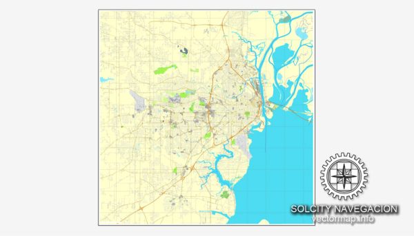
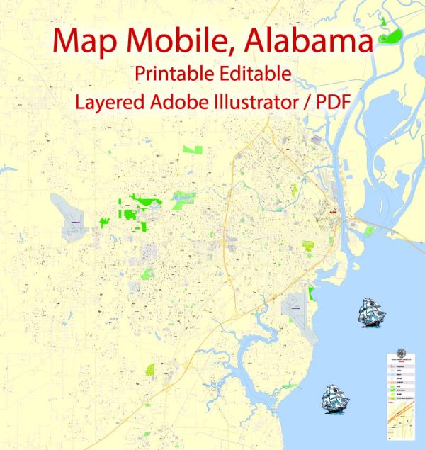
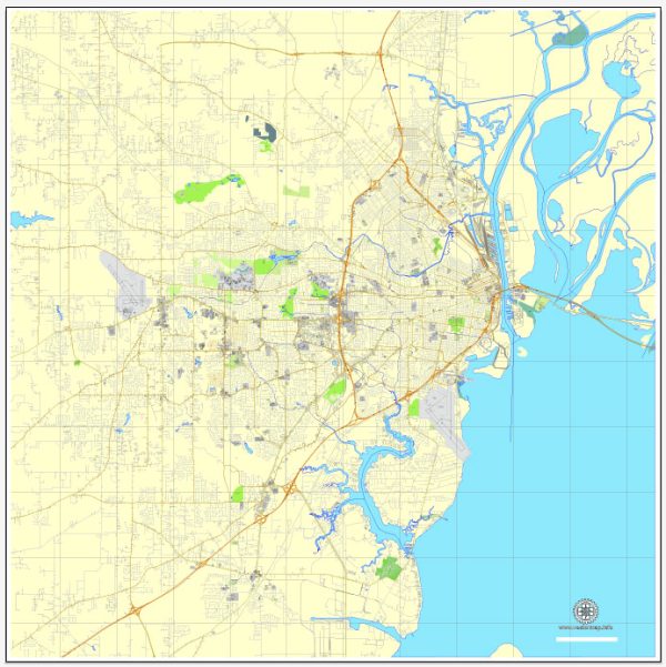
Some information about toll roads and streets in Mobile, Alabama.
Vectormap.Net provide you with the most accurate and up-to-date vector maps in Adobe Illustrator, PDF and other formats, designed for editing and printing. Please read the vector map descriptions carefully.
- Toll Roads:
- Alabama does have some toll roads, but it’s essential to check for the most recent information, as new roads or changes in toll policies may have occurred since my last update.
- One notable toll road in Alabama is the Foley Beach Express, which is located to the east of Mobile.
- Major Highways and Streets:
- Interstate Highways: Mobile is served by several major interstate highways, including I-10, I-65, and I-165. These highways facilitate regional and interstate travel.
- US Highways: US-90 and US-98 are significant U.S. highways that pass through or near Mobile.
- State Highways: Alabama State Route 163 and State Route 193 are examples of state highways that connect various parts of Mobile.
- Downtown Mobile:
- Downtown Mobile has a grid-like street layout, with many streets being named rather than numbered.
- Water Street and Royal Street are two prominent streets running parallel to the Mobile River, featuring a mix of commercial, residential, and historical buildings.
- Dauphin Street is a well-known street in downtown Mobile with restaurants, bars, and shops. It’s a popular spot for entertainment and nightlife.
- Causeway and Bayway:
- The Mobile Bay Causeway and Bayway are significant stretches of roadway that cross Mobile Bay, connecting the eastern and western shores. These are part of I-10 and can be subject to traffic congestion, especially during peak travel times.
- Public Transportation:
- The Wave Transit System provides public transportation services in Mobile, including buses.
For the most accurate and up-to-date information about tolls and specific roads in Mobile, I recommend checking with local transportation authorities, such as the Alabama Department of Transportation (ALDOT) or using online maps and navigation tools that provide real-time traffic information. Additionally, be aware that toll road information and infrastructure can change over time, so it’s essential to verify the latest details.


 Author: Kirill Shrayber, Ph.D.