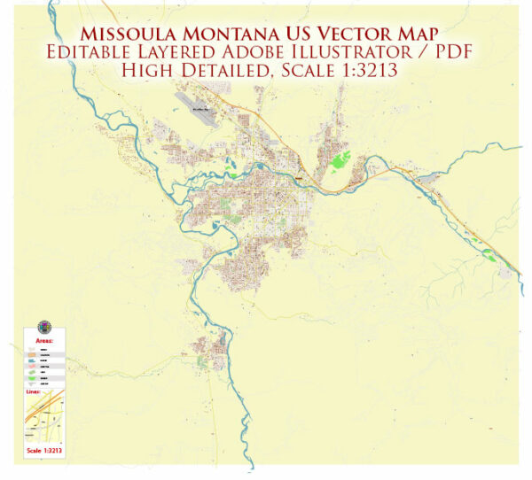
A general overview of the economic and transportation aspects of Missoula, Montana.
Vectormap.Net provide you with the most accurate and up-to-date vector maps in Adobe Illustrator, PDF and other formats, designed for editing and printing. Please read the vector map descriptions carefully.
Economic Overview: Missoula is the second-largest city in Montana and serves as the economic, cultural, and educational hub of western Montana. The city’s economy is diverse, with contributions from various sectors:
- Education and Healthcare: The University of Montana, located in Missoula, plays a significant role in the local economy. Additionally, healthcare services, including hospitals and medical facilities, contribute to the city’s economic vitality.
- Government and Services: Government employment, including local, state, and federal offices, is a crucial component of Missoula’s economy. Public services, such as administration and law enforcement, contribute to employment and economic stability.
- Technology and Innovation: Missoula has seen growth in the technology and innovation sector, with a focus on start-ups and small businesses. The Montana Technology Enterprise Center (MonTEC) supports technology-based businesses and entrepreneurs.
- Tourism: The city’s natural beauty and outdoor recreational opportunities, including nearby national parks and forests, attract tourists. Tourism-related activities contribute to the local economy through hospitality, retail, and outdoor recreation services.
- Agriculture: Montana, in general, has a strong agricultural sector. In and around Missoula, agriculture includes cattle ranching, wheat farming, and other agricultural activities.
Transportation: Missoula is well-connected by various transportation modes:
- Air Transportation: Missoula International Airport (MSO) serves as the primary air gateway to the region. It offers both domestic and limited international flights, connecting the city to major hubs across the United States.
- Roads and Highways: The city is accessible by major highways, including Interstate 90 and Interstate 15. These highways facilitate the movement of goods and people within the state and across the region.
- Public Transportation: The Mountain Line bus system provides public transportation services within Missoula. This includes fixed-route services and paratransit services to enhance mobility for residents.
- Rail Transportation: While freight rail services are available, Missoula does not have regular passenger rail service. The city historically played a role as a transportation hub due to its location along railroad lines.
- Biking and Walking: Missoula is known for its bike-friendly community, with numerous bike paths and lanes. The city promotes alternative transportation modes to reduce traffic congestion and promote a healthy lifestyle.
It’s essential to verify this information with more recent sources, as economic and transportation landscapes can change over time.


 Author: Kirill Shrayber, Ph.D. FRGS