Milwaukee, Wisconsin, is a city with a rich history and a well-developed transportation infrastructure.
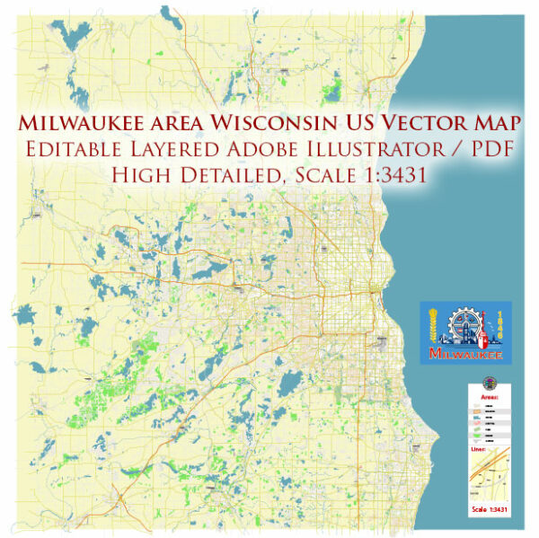
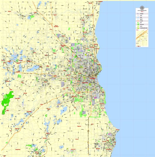
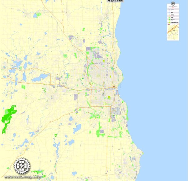
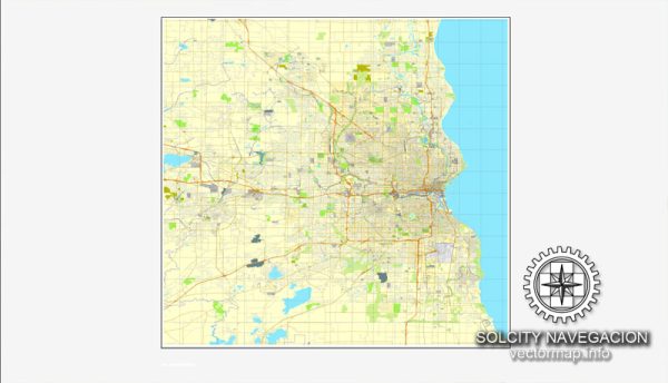
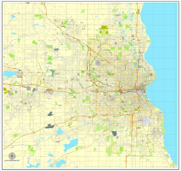
Vectormap.Net provide you with the most accurate and up-to-date vector maps in Adobe Illustrator, PDF and other formats, designed for editing and printing. Please read the vector map descriptions carefully.
Here’s a detailed overview:
History:
- Indigenous Inhabitants: Before European settlement, the Milwaukee area was inhabited by various Native American tribes, including the Menominee, Fox, and Potawatomi.
- European Settlement: The first European explorer to reach the area was Frenchman Jean Nicolet in 1634. The French and later the British played a significant role in the fur trade in the region.
- Early 19th Century: Milwaukee’s growth began in the early 19th century. The city’s name is derived from the Algonquian word “Millioke,” meaning “Good” or “Beautiful” land.
- Immigration and Industrialization: Milwaukee attracted a significant number of German immigrants in the mid-19th century, contributing to its cultural and industrial development. The city became known for its breweries, manufacturing, and shipping.
- Brewing Industry: The brewing industry, with names like Pabst, Schlitz, and Miller, became a major economic force. Milwaukee earned the nickname “Brew City” due to its association with beer production.
- Harley-Davidson: In the early 20th century, Milwaukee became the home of the iconic motorcycle company, Harley-Davidson, adding to the city’s industrial identity.
- Civil Rights Movement: Like many cities, Milwaukee experienced racial tensions during the Civil Rights Movement. Open housing marches in the 1960s brought attention to issues of segregation and discrimination.
Transportation Infrastructure:
- Port of Milwaukee: The city’s location on Lake Michigan facilitated the development of a thriving port. The Port of Milwaukee handles cargo and supports shipping activities, contributing to the region’s economic vitality.
- Railroads: Milwaukee has been a major hub for railroads, playing a crucial role in the transportation of goods and people. The Milwaukee Road and the Chicago and North Western Railway were significant players in the city’s rail history.
- Streetcar System: Milwaukee once had an extensive streetcar system that was dismantled in the mid-20th century. In recent years, there have been efforts to reintroduce modern streetcar lines, with the Milwaukee Streetcar (The Hop) opening in 2018.
- Highways: Milwaukee is well-connected by a network of highways, including Interstates 94, 43, and 41, facilitating regional and national transportation.
- General Mitchell International Airport: Milwaukee’s airport, General Mitchell International Airport, serves as a major air transportation hub for the region, connecting the city to domestic and international destinations.
- Public Transportation: The Milwaukee County Transit System (MCTS) provides bus services throughout the city and surrounding areas, offering a crucial public transportation option for residents.
- Biking and Walking Paths: Milwaukee has been investing in developing biking and walking paths, promoting alternative modes of transportation and contributing to the city’s sustainability efforts.
In summary, Milwaukee’s history is marked by industrialization, immigration, and cultural diversity. Its transportation infrastructure, shaped by its location on Lake Michigan and historical industries, includes a mix of ports, railroads, highways, and modern transit options.

 Author: Kirill Shrayber, Ph.D.