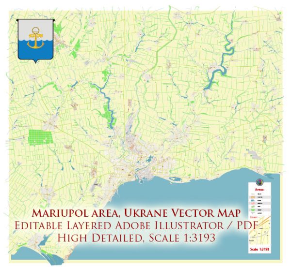
Mariupol is a city in southeastern Ukraine, situated on the northern coast of the Sea of Azov. It has a rich history and several notable historic places, buildings, streets, and squares.
Vectormap.Net provide you with the most accurate and up-to-date vector maps in Adobe Illustrator, PDF and other formats, designed for editing and printing. Please read the vector map descriptions carefully.
Here are some key points:
- Mariupol City Council Building:
- The administrative heart of the city, the Mariupol City Council Building, is likely a prominent structure. It may showcase architectural features typical of the period in which it was constructed.
- Mariupol Drama Theater:
- The Mariupol Drama Theater is a cultural landmark where locals and visitors can enjoy theatrical performances. The building itself may have historical significance and architectural charm.
- Azovstal Iron and Steel Works:
- Mariupol has a strong industrial base, and the Azovstal Iron and Steel Works are a major player in this sector. The plant, with its massive structures and industrial landscape, is an integral part of Mariupol’s history and economy.
- Mariupol Sea Port:
- The city’s Sea Port is a crucial hub for trade and commerce. It might have historic structures and provide a glimpse into Mariupol’s maritime history.
- Mariupol Art Museum:
- If Mariupol has an art museum, it would be a place to explore Ukrainian art and culture. Museums often hold exhibitions featuring both local and international artists.
- Mariupol Cathedral:
- Like many cities in Ukraine, Mariupol is likely to have one or more historical churches or cathedrals. These structures often reflect the architectural style of their respective periods.
- Shevchenko Avenue:
- Major streets like Shevchenko Avenue are usually the commercial and cultural arteries of the city. They may be lined with shops, cafes, and important public buildings.
- Central Square (If Exist):
- Many cities have a central square that serves as a focal point for public gatherings and events. It might feature statues, fountains, or other landmarks.
Please verify the current status of these places, as circumstances can change. If you have access to more recent sources or local information, it would be beneficial for a more accurate understanding of Mariupol’s historic sites. Additionally, be aware of any travel advisories or safety concerns before planning a visit.


 Author: Kirill Shrayber, Ph.D. FRGS