Louisville, Kentucky, is known for its vibrant culture, historic sites, and outdoor attractions.
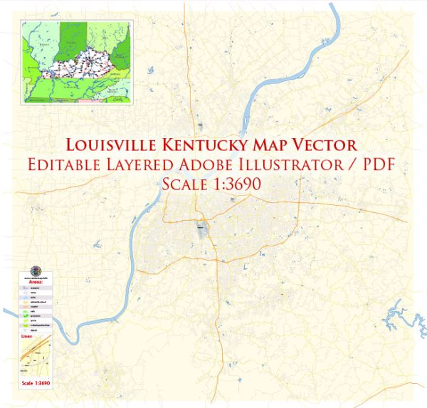
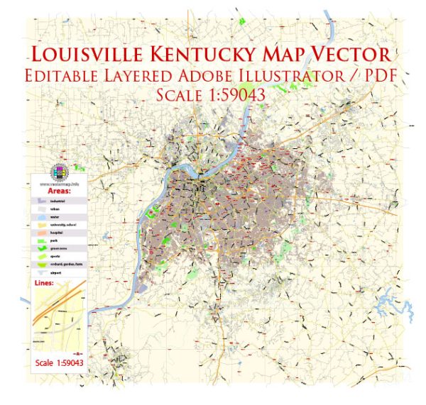
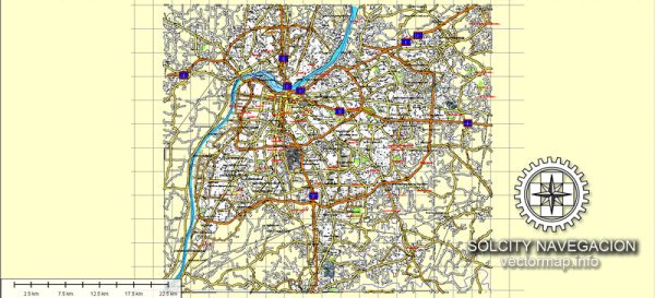
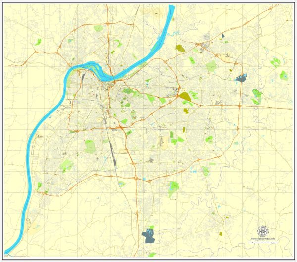
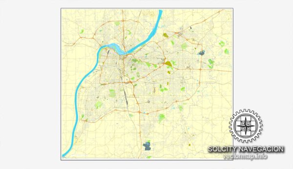
Vectormap.Net provide you with the most accurate and up-to-date vector maps in Adobe Illustrator, PDF and other formats, designed for editing and printing. Please read the vector map descriptions carefully.
Here’s a general overview of nature parks, natural reserved areas, and tourism in Louisville:
Nature Parks and Natural Reserves:
- Cherokee Park:
- Designed by Frederick Law Olmsted, this 409-acre park is a scenic masterpiece featuring meadows, woodlands, and a 2.4-mile scenic loop.
- Visitors can enjoy walking and biking trails, as well as sports facilities like tennis courts and golf courses.
- Bernheim Arboretum and Research Forest:
- Located just south of Louisville, this 16,137-acre forest offers visitors a diverse range of ecosystems, including forests, prairies, and wetlands.
- Bernheim is known for its hiking trails, educational programs, and the renowned Forest Giants in a Giant Forest art installation.
- Jefferson Memorial Forest:
- As the largest municipal urban forest in the United States, this forest covers over 6,600 acres and provides hiking, camping, and fishing opportunities.
- The forest has numerous trails, including the Red Trail, which leads to a scenic overlook.
- Iroquois Park:
- Another Olmsted-designed park, Iroquois Park offers panoramic views of Louisville and the Ohio River.
- Visitors can explore walking and biking trails, a golf course, and attend events at the Iroquois Amphitheater.
- Mammoth Cave National Park:
- While not in Louisville, Mammoth Cave is a UNESCO World Heritage Site and a short drive away. It features the world’s longest cave system with stunning formations.
- The park also offers above-ground activities like hiking, camping, and wildlife viewing.
Tourism in Louisville:
- Kentucky Derby Museum:
- Louisville is internationally renowned for the Kentucky Derby, and the museum showcases the history of this iconic horse race.
- Muhammad Ali Center:
- Dedicated to the life and career of the legendary boxer Muhammad Ali, this center provides an immersive experience through multimedia exhibits and memorabilia.
- Louisville Mega Cavern:
- A former limestone cavern turned into an underground adventure park, offering zip lines, tram tours, and an underground bike park.
- Louisville Waterfront Park:
- Situated along the Ohio River, this park features walking trails, playgrounds, and hosts various events and festivals.
- Louisville Slugger Museum & Factory:
- Baseball enthusiasts can explore the history of the iconic Louisville Slugger baseball bat and even witness the bat-making process.
- Frazier History Museum:
- Offers exhibits on historical events, including the Lewis and Clark expedition, as well as collections of arms and armor.
Louisville is a city that beautifully combines urban amenities with natural beauty, providing residents and visitors with a diverse range of recreational and cultural experiences. Be sure to check for any updates or new attractions that may have emerged since my last update.

 Author: Kirill Shrayber, Ph.D. FRGS