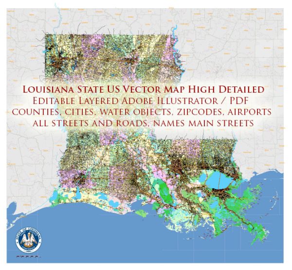
Louisiana, located in the southeastern region of the United States, is known for its rich cultural heritage, diverse landscapes, and economic significance.
Vectormap.Net provide you with the most accurate and up-to-date vector maps in Adobe Illustrator, PDF and other formats, designed for editing and printing. Please read the vector map descriptions carefully.
Here’s a detailed description of some of the main cities, ports, and railroads in the state:
Main Cities:
- New Orleans:
- Known for its vibrant culture, music, and cuisine.
- Major port city on the Mississippi River.
- Key tourist destination, famous for events like Mardi Gras.
- Significant economic hub with a diverse economy, including tourism, oil and gas, and maritime industries.
- Baton Rouge:
- State capital of Louisiana.
- Home to Louisiana State University (LSU).
- Important industrial and petrochemical center.
- Located along the Mississippi River, contributing to its economic significance.
- Shreveport:
- Located in the northwest part of the state.
- Historically tied to the oil industry.
- Hub for healthcare and education, with several universities and medical facilities.
- Lafayette:
- Known for its Cajun and Creole culture.
- A center for the oil and natural gas industry.
- Home to the University of Louisiana at Lafayette.
- Lake Charles:
- A major industrial center with a focus on petrochemicals.
- Growing economy and infrastructure development.
Main Ports:
- Port of New Orleans:
- One of the largest and busiest ports in the United States.
- Handles a diverse range of cargo, including containers, steel, and agricultural products.
- Connects to the Gulf of Mexico via the Mississippi River.
- Port of Baton Rouge:
- Located along the Mississippi River.
- Specializes in bulk cargo, including grain, petrochemicals, and forest products.
- Port of South Louisiana:
- Largest port in the United States by tonnage.
- Strategically located between New Orleans and Baton Rouge.
- Handles a wide range of commodities, including agricultural products, chemicals, and petroleum.
- Port of Lake Charles:
- An important port for the petrochemical industry.
- Specializes in the export of chemicals, refined products, and natural gas.
Railroads:
- Kansas City Southern Railway:
- A major Class I railroad operating in Louisiana.
- Provides freight transportation services, connecting Louisiana to the Midwest and Mexico.
- Union Pacific Railroad:
- Another Class I railroad serving Louisiana.
- Operates an extensive rail network, facilitating the transportation of goods across the country.
- BNSF Railway:
- While not as prominent in Louisiana, BNSF Railway also plays a role in freight transportation in the state.
These cities, ports, and railroads contribute significantly to Louisiana’s economic development, making the state an essential player in the transportation, energy, and industrial sectors in the United States.


 Author: Kirill Shrayber, Ph.D. FRGS