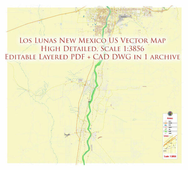
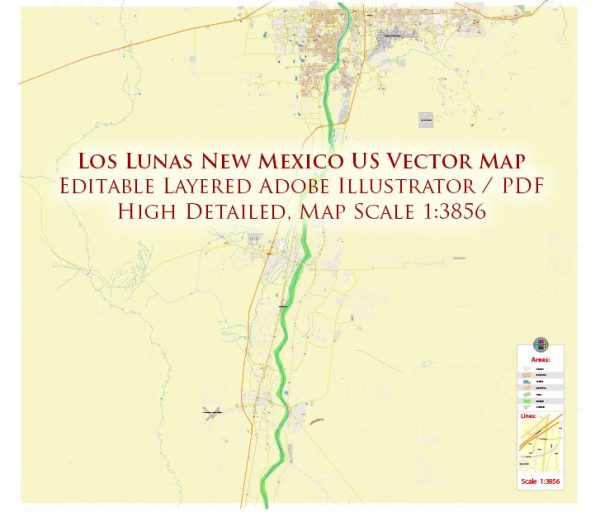
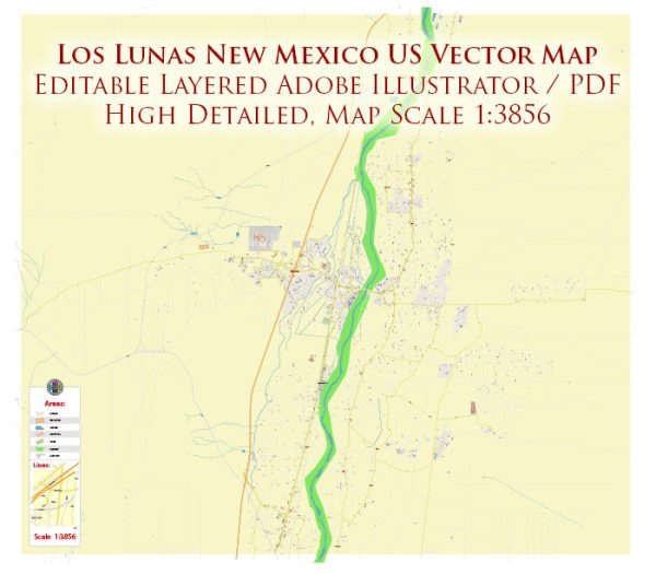
A general overview of the political and transportation history of Los Lunas, New Mexico.
Vectormap.Net provide you with the most accurate and up-to-date vector maps in Adobe Illustrator, PDF and other formats, designed for editing and printing. Please read the vector map descriptions carefully.
Political History:
Early History: Los Lunas has a rich history dating back to prehistoric times, with evidence of ancient Native American cultures in the area. The region was later settled by Spanish colonizers in the 17th century, contributing to the cultural diversity of the area.
Territorial Period: During the 19th century, New Mexico was part of the Mexican territory and later became a U.S. territory after the Treaty of Guadalupe Hidalgo in 1848, which ended the Mexican-American War. The arrival of the Atchison, Topeka, and Santa Fe Railway in the late 19th century facilitated economic development and increased connectivity for Los Lunas and the surrounding region.
Statehood and Modern Era: New Mexico achieved statehood in 1912. Since then, Los Lunas has played a role in local and state politics. Like many other communities, it has experienced changes in governance structures, economic development, and social dynamics over the years.
Transportation History:
Railroads: The introduction of the Atchison, Topeka, and Santa Fe Railway in the late 19th century had a profound impact on Los Lunas and the entire region. Railroads facilitated the transportation of goods, people, and resources, contributing to economic growth and development. The railroads played a crucial role in connecting Los Lunas to larger markets and enhancing its accessibility.
Highways: The development of highways further transformed transportation in Los Lunas. The town is strategically located along Interstate 25, a major north-south highway that connects it to Albuquerque and Santa Fe. This has made Los Lunas a hub for regional transportation and has influenced its economic activities.
Aviation: While Los Lunas may not have a major airport, the region is served by Albuquerque International Sunport, which is located about 25 miles north. The Sunport has been a key transportation hub for both domestic and international travel, indirectly influencing transportation patterns in Los Lunas.
Recent Developments:
In recent years, Los Lunas has experienced population growth and increased economic activity, partially due to its proximity to Albuquerque and its status as a commuter town. The region continues to see infrastructure improvements and may have witnessed changes in local politics and governance structures.
For the latest and most specific information, consider reaching out to local historical societies, government archives, or municipal offices in Los Lunas. They can provide detailed records and insights into the political and transportation history of the area.


 Author: Kirill Shrayber, Ph.D. FRGS