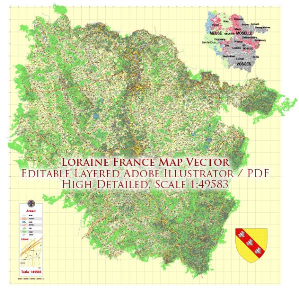
A general overview of the main cities and roads in the Lorraine region of France.
Vectormap.Net provide you with the most accurate and up-to-date vector maps in Adobe Illustrator, PDF and other formats, designed for editing and printing. Please read the vector map descriptions carefully.
Lorraine is a historical region located in northeastern France. The region is known for its rich history, diverse landscapes, and industrial heritage. Some of the main cities in Lorraine include:
- Nancy: Nancy is a major city and the capital of the Meurthe-et-Moselle department in Lorraine. It is known for its beautiful 18th-century architecture, including the Place Stanislas, which is a UNESCO World Heritage site.
- Metz: Metz is the capital of the Moselle department and is known for its stunning cathedral, museums, and historical sites. The city has a mix of German and French influences due to its location near the German border.
- Thionville: Thionville is a town in the Moselle department, located near the border with Luxembourg. It has a historic center with well-preserved architecture.
- Epinal: Epinal is the capital of the Vosges department and is known for its imagery and printmaking, particularly the popular “Images d’Épinal.”
In terms of roads, Lorraine is well-connected with a network of highways and roads. The major highways in the region include:
- A31 (Autoroute 31): This is a major north-south highway connecting Luxembourg to Nancy and further south. It passes through Metz and connects to other major highways.
- A4 (Autoroute 4): This highway runs east-west, connecting Metz to Strasbourg and continuing towards Germany.
- A30 (Autoroute 30): A30 connects Nancy to the Belgian border, passing through Thionville.
Regarding toll roads, the most significant tolls in France are usually found on major highways, especially those operated by private companies. A portion of the A31, for example, may have toll sections. Toll rates can vary, and they are typically based on the distance traveled on the toll road. It’s advisable to check the latest information on tolls, as regulations and rates may change.
For the most accurate and up-to-date information on toll roads, you can visit official websites, use navigation apps, or check with local authorities or toll operators.


 Author: Kirill Shrayber, Ph.D. FRGS