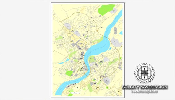
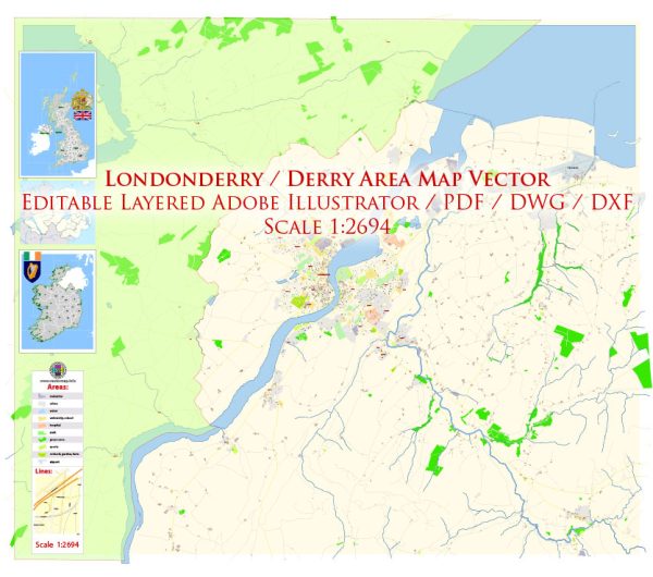
Londonderry, commonly known as Derry, is a city in Northern Ireland with a rich industrial history and a strategic location along the River Foyle. Its industrial development and transportation infrastructure have played significant roles in shaping the city’s economic landscape.
Vectormap.Net provide you with the most accurate and up-to-date vector maps in Adobe Illustrator, PDF and other formats, designed for editing and printing. Please read the vector map descriptions carefully.
Here is a detailed overview of the industrial history, port, and road system in Londonderry:
Industrial History:
1. Textile Industry:
- In the 19th and early 20th centuries, Londonderry was a hub for the textile industry, particularly linen production.
- The city became renowned for its linen factories, and the industry contributed significantly to the local economy.
2. Shipyards and Engineering:
- Londonderry has a history of shipbuilding and engineering. The city’s shipyards were crucial during both World Wars for the construction and repair of naval vessels.
- The engineering sector grew, encompassing the production of locomotives, bridges, and other industrial machinery.
3. Agriculture and Food Processing:
- The fertile lands surrounding Londonderry supported agricultural activities, and food processing industries emerged.
- Distilleries and breweries were established, contributing to the city’s economic diversification.
4. Conflict and Economic Challenges:
- The Troubles, a period of political conflict from the late 1960s to 1998, had a negative impact on the city’s industrial and economic development.
- The economic challenges persisted even after the conflict resolution, but efforts were made to revitalize the economy.
Port of Londonderry:
1. River Foyle:
- The River Foyle runs through the city, providing a natural waterway and facilitating maritime trade.
- The port of Londonderry has historically been a vital link for the import and export of goods.
2. Port Facilities:
- The Port of Londonderry has modern facilities, including cargo handling equipment and storage facilities.
- It handles a variety of goods, including agricultural products, manufactured goods, and bulk commodities.
3. Strategic Location:
- The port’s strategic location provides easy access to the Atlantic Ocean, making it an essential gateway for trade.
Road System:
1. Road Infrastructure:
- Londonderry has a well-developed road network that connects the city to other parts of Northern Ireland and beyond.
- Major roads, such as the A2 and A6, connect Londonderry to Belfast and other key cities.
2. Transport Connectivity:
- The road system facilitates the transportation of goods to and from the port, supporting the city’s economic activities.
3. Infrastructure Improvements:
- Over the years, there have been infrastructure improvements to enhance connectivity and reduce travel times.
- Investment in road projects has aimed at improving access to the port and promoting economic growth.
Recent Developments:
1. Regeneration Efforts:
- Post-Troubles, there have been concerted efforts to regenerate and revitalize the city’s economy.
- Investments in tourism, education, and technology sectors have contributed to economic diversification.
2. Renewed Focus on Innovation:
- The city has embraced a renewed focus on innovation and knowledge-based industries, attracting new businesses and creating employment opportunities.
In summary, Londonderry’s industrial history is characterized by textile manufacturing, shipbuilding, and agriculture. The port, situated along the River Foyle, has been a crucial element in the city’s economic activities. The well-connected road system complements the port and facilitates the movement of goods. Recent developments have seen efforts to diversify the economy and promote innovation, contributing to the ongoing transformation of Londonderry.


 Author: Kirill Shrayber, Ph.D. FRGS