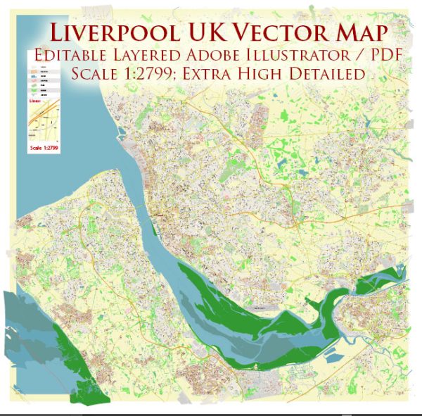
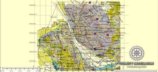
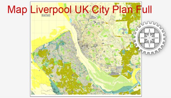
Liverpool, located in the northwest of England, has a rich industrial history, a prominent port, and a well-developed road system.
Vectormap.Net provide you with the most accurate and up-to-date vector maps in Adobe Illustrator, PDF and other formats, designed for editing and printing. Please read the vector map descriptions carefully.
Here’s a detailed overview:
Industrial History:
- Maritime Trade:
- Liverpool’s industrial history is closely tied to its role as a major maritime and trading city. In the 18th and 19th centuries, Liverpool became a hub for the transatlantic slave trade, and later played a crucial role in the transportation of goods during the Industrial Revolution.
- The construction of the world’s first commercial wet dock in 1715, the Old Dock, marked a significant development. It facilitated the loading and unloading of ships, contributing to Liverpool’s growth as a trading port.
- Industrial Revolution:
- As the Industrial Revolution unfolded, Liverpool became a key player in the global trade of goods, including textiles, coal, and manufactured products.
- The city’s strategic location on the west coast and its connectivity to the expanding canal network and later, the railway system, further boosted its industrial and trading capabilities.
- Docks and Warehouses:
- Liverpool’s waterfront boasts a collection of historic docks, including the Albert Dock, which opened in 1846. The dock system expanded over the years, accommodating larger vessels and fostering international trade.
- Warehouses, such as those in the Albert Dock area, were essential for storing and handling goods. The architecture of these structures reflects the city’s maritime heritage.
Port of Liverpool:
- Modern Port Facilities:
- The Port of Liverpool is one of the largest and busiest in the UK. It has evolved with modern facilities, including deep-water container terminals, cargo handling equipment, and logistical infrastructure.
- The port is a vital gateway for goods entering and leaving the UK, serving as a major trade link with Europe and beyond.
- Expansion and Connectivity:
- Ongoing developments and expansions, like the Liverpool2 container terminal, have enhanced the port’s capacity to handle larger container ships.
- The connectivity of the port to road and rail networks ensures efficient transportation of goods to and from the port.
Road System:
- Road Networks:
- Liverpool has a well-developed road network that connects the city to surrounding regions and facilitates the movement of goods and people. Key roads include the M62 motorway linking Liverpool to Manchester and the national motorway network.
- Transport Hubs:
- Lime Street Station serves as a major railway station, connecting Liverpool to cities across the UK. The presence of the Liverpool John Lennon Airport provides air transport facilities for both passengers and cargo.
- Urban Planning:
- The city’s road system has undergone strategic urban planning to manage traffic flow and support economic activities. Initiatives like the Liverpool City Centre Connectivity Scheme aim to enhance transportation infrastructure within the city.
In summary, Liverpool’s industrial history, port, and road system have played pivotal roles in shaping the city’s identity as a global trading and economic center, with a strong focus on maritime activities and modern logistics.


 Author: Kirill Shrayber, Ph.D. FRGS