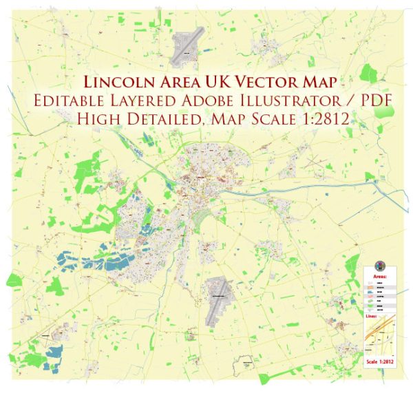
Lincoln, located in the East Midlands of England, has a rich history that spans over 2,000 years.
Vectormap.Net provide you with the most accurate and up-to-date vector maps in Adobe Illustrator, PDF and other formats, designed for editing and printing. Please read the vector map descriptions carefully.
Here is a detailed overview of its history and main streets:
History:
- Roman Era (1st – 5th centuries): The history of Lincoln can be traced back to the Roman period when it was known as Lindum Colonia. It served as a crucial Roman outpost and later developed into a major Roman city with a forum, basilica, and other structures.
- Anglo-Saxon and Viking Periods (5th – 11th centuries): Following the Roman era, Lincoln became an important Anglo-Saxon settlement. The Vikings invaded and established control in the 9th century. The city played a strategic role in the Danelaw, the Viking-controlled region of England.
- Medieval Period (11th – 15th centuries): The Norman Conquest in 1066 led to the construction of Lincoln Cathedral and Lincoln Castle. The cathedral, one of the finest examples of Gothic architecture in England, was completed in 1092. The city prospered as a center of trade and commerce during the medieval period.
- Civil War (17th century): During the English Civil War (1642-1651), Lincoln was a Parliamentarian stronghold. The city witnessed significant military activity, and the Siege of Lincoln in 1644 resulted in the surrender of the Parliamentarian forces to the Royalists.
- Industrial Revolution (18th – 19th centuries): Lincoln experienced economic growth during the Industrial Revolution. The city’s economy diversified with industries such as engineering and manufacturing. The arrival of the railway in the 19th century further boosted economic development.
- 20th Century and Beyond: In the 20th century, Lincoln continued to evolve as a regional center. It became a garrison town during World War II. Post-war, the city saw urban expansion and development.
Main Streets:
- High Street: High Street is one of Lincoln’s primary thoroughfares, lined with shops, restaurants, and historic buildings. It extends from the Stonebow to the Newport Arch, showcasing a mix of architectural styles.
- Steep Hill: This charming, cobbled street connects the historic Bailgate area with the city center. Steep Hill is known for its quaint shops, tea rooms, and historic buildings, offering a picturesque walk through medieval and Georgian architecture.
- Bailgate: Located near Lincoln Cathedral and Lincoln Castle, Bailgate is a historic area with narrow streets, boutiques, and traditional pubs. It has retained much of its medieval character.
- Brayford Waterfront: The Brayford Pool area is a scenic waterfront with a marina, restaurants, and entertainment venues. It has become a popular destination for leisure and social activities.
- Silver Street: This street runs parallel to the High Street and is known for its medieval architecture. It features a mix of shops, cafes, and historic buildings.
- Monks Road: Monks Road is a major route leading eastward from the city center. It has a mix of residential and commercial properties and serves as a key transportation corridor.
Lincoln’s history and main streets reflect its role as a city with deep-rooted historical significance and a blend of medieval charm and modern development. Today, Lincoln remains a vibrant city with a thriving community and a blend of historical and contemporary attractions.


 Author: Kirill Shrayber, Ph.D. FRGS