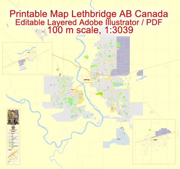
A general overview of the economic and transport connections between Lethbridge, Coaldale, and Fort Macleod in Canada.
Vectormap.Net provide you with the most accurate and up-to-date vector maps in Adobe Illustrator, PDF and other formats, designed for editing and printing. Please read the vector map descriptions carefully.
Lethbridge:
Economic Overview:
- Agriculture: Lethbridge has a strong agricultural presence, with a focus on crops such as barley, canola, and sugar beets. The region is also known for its livestock farming.
- Education and Health: The presence of the University of Lethbridge and Chinook Regional Hospital contributes significantly to the local economy.
- Manufacturing and Technology: Lethbridge has a diverse economy that includes manufacturing and technology sectors.
Transport Connections:
- Highways: Lethbridge is well-connected by highways, including Highway 3, which links it to the Trans-Canada Highway.
- Railways: The city has a railway network that plays a crucial role in transporting goods and commodities.
Coaldale:
Economic Overview:
- Agriculture: Similar to Lethbridge, Coaldale has a strong agricultural presence, with a focus on crop cultivation.
- Small Businesses: Coaldale is home to various small businesses catering to the local community.
Transport Connections:
- Roads: Coaldale is connected to nearby areas through road networks, with local roads facilitating transportation within the town.
Fort Macleod:
Economic Overview:
- Historic Tourism: Fort Macleod, known for its historical significance, attracts tourists interested in exploring its heritage sites, including the Northwest Mounted Police (NWMP) barracks.
- Agriculture: Agriculture also plays a role in the local economy.
Transport Connections:
- Highways: Fort Macleod is situated along Highway 2, a major north-south transportation route in Alberta.
- Close Proximity to Lethbridge: Fort Macleod is relatively close to Lethbridge, and the two communities are linked by road networks, facilitating transportation and economic ties.
Regional Connections:
- Proximity: Lethbridge, Coaldale, and Fort Macleod are relatively close to each other, fostering regional economic collaboration and trade.
- Transport Hubs: Lethbridge, being a larger city, may serve as a transportation hub for the surrounding areas, including Coaldale and Fort Macleod.


 Author: Kirill Shrayber, Ph.D. FRGS