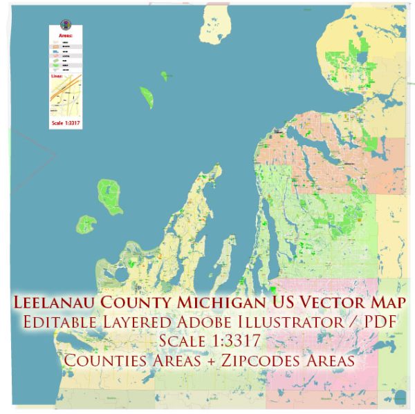
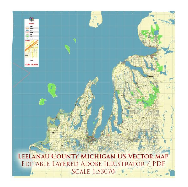
Leelanau County is located in the U.S. state of Michigan and is known for its picturesque landscapes, including miles of shoreline along Lake Michigan and inland lakes. The county is situated in the northern part of the lower peninsula of Michigan.
Vectormap.Net provide you with the most accurate and up-to-date vector maps in Adobe Illustrator, PDF and other formats, designed for editing and printing. Please read the vector map descriptions carefully.
Here’s a detailed description of some of the main cities and towns, as well as principal roads in Leelanau County:
Cities and Towns:
- Leland:
- Located along the shores of Lake Michigan and Lake Leelanau.
- Known for its historic Fishtown district, which features charming shops, galleries, and fishing shanties.
- Offers scenic views of the Manitou Islands.
- Suttons Bay:
- A charming village situated on the eastern shore of the Leelanau Peninsula.
- Features a vibrant downtown with shops, restaurants, and galleries.
- Suttons Bay is a gateway to the Leelanau Peninsula Wine Trail.
- Northport:
- Located at the northern tip of the Leelanau Peninsula.
- Offers access to Grand Traverse Bay and is a popular spot for boating and water activities.
- Has a historic downtown area with shops and restaurants.
- Glen Arbor:
- Nestled near the Sleeping Bear Dunes National Lakeshore.
- Known for its proximity to the Sleeping Bear Dunes, a designated National Lakeshore with stunning sand dunes and Lake Michigan views.
- A hub for outdoor recreation.
Principal Roads:
- M-22:
- A scenic highway that loops around the Leelanau Peninsula.
- Offers breathtaking views of Lake Michigan and passes through several charming towns, including Suttons Bay and Leland.
- M-72:
- Runs east-west through the southern part of Leelanau County.
- Connects Traverse City to Empire and provides access to Sleeping Bear Dunes.
- M-204:
- Connects Suttons Bay to Lake Leelanau and Leland.
- Offers picturesque views of the surrounding lakes and landscapes.
- County Road 641 (CR-641):
- Runs north-south, connecting Northport to Suttons Bay.
- Provides access to the northern part of the peninsula.
- County Road 616 (CR-616):
- Runs east-west through the central part of the county, connecting Leland to Cedar.
- Passes through picturesque rural landscapes.
Leelanau County is known for its natural beauty, outdoor activities, and vibrant communities. The principal roads mentioned above facilitate travel and exploration of this scenic area. Keep in mind that road names and numbers may be subject to change, so it’s advisable to check for the latest maps and information for accurate navigation.


 Author: Kirill Shrayber, Ph.D.